Masonic Temple, Cheyenne
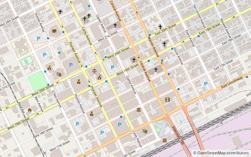
Map

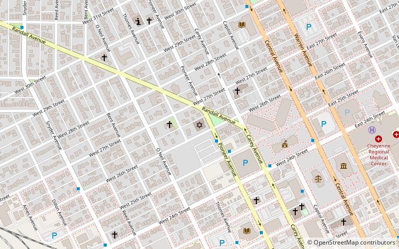
Map

Facts and practical information
The Masonic Temple in Cheyenne, Wyoming, is a building dating from 1901. It was listed on the National Register of Historic Places in 1984. ()
Coordinates: 41°8'6"N, 104°49'1"W
Day trips
Masonic Temple – popular in the area (distance from the attraction)
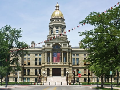
Nearby attractions include: Wyoming State Capitol, Wyoming State Museum, St. Mary's Catholic Cathedral, Joseph C. O'Mahoney Federal Center.
Frequently Asked Questions (FAQ)
Which popular attractions are close to Masonic Temple?
Nearby attractions include St. Mark's Episcopal Church, Cheyenne (2 min walk), City and County Building, Cheyenne (3 min walk), First United Methodist Church, Cheyenne (3 min walk), Nelson Museum of the West, Cheyenne (3 min walk).
How to get to Masonic Temple by public transport?
The nearest stations to Masonic Temple:
Bus
Bus
- 19th St. & Central • Lines: Downtown (3 min walk)
- Transfer Station • Lines: Downtown, East, Northeast, Northwest, South, West (4 min walk)


