Sweeney Field, Philadelphia
Map
Facts and practical information
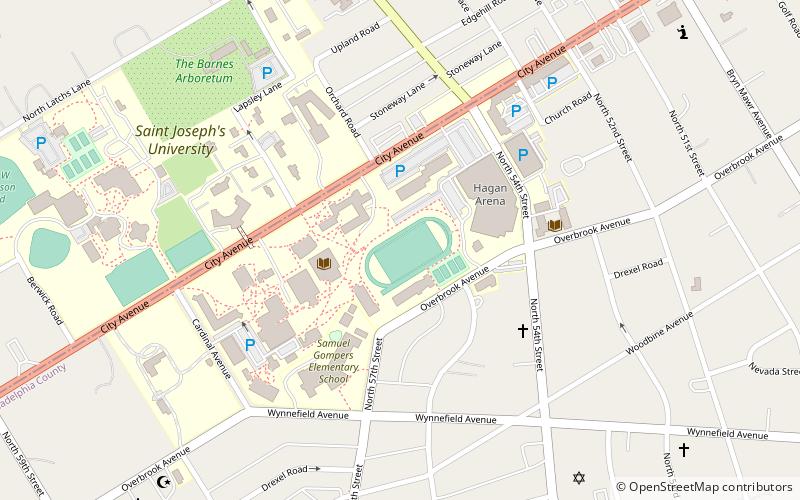
Sweeney Field is a multi-use sports facility on the Saint Joseph's University campus in Philadelphia, Pennsylvania, which opened in 1929 and was originally planned to be the centerpiece to a 70,000 seat football stadium in the natural bowl of the campus. ()
Opened: 1929 (97 years ago)Coordinates: 39°59'41"N, 75°14'12"W
Address
West Philadelphia (Overbrook)Philadelphia
ContactAdd
Social media
Add
Getting there by public transportation
Public transportation stops near this location
- Bus
- Tram
- Train
 Bus
Bus
- Calculate routeBala 17 min walk
- Calculate routeWynnefield Avenue 17 min walk
- Calculate routeOverbrook 20 min walk
- Calculate routeMerion 21 min walk
- Calculate routeMalvern Avenue & 63rd Street 23 min walk
- Calculate route63rd Street & Jefferson Street 32 min walk
- Calculate routeMalvern Avenue & 63rd Street 23 min walk
Maps SEPTA Regional Rail
SEPTA Regional RailDay trips


Frequently Asked Questions (FAQ)
Which popular attractions are close to Sweeney Field?
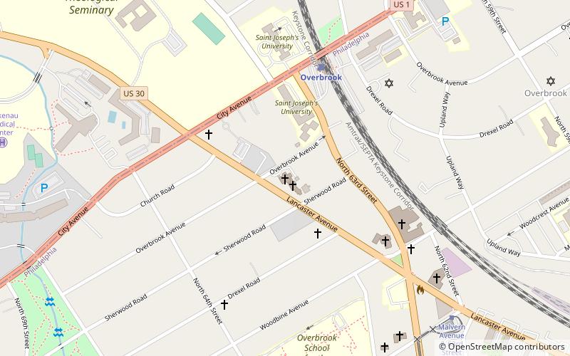
Nearby attractions include Wynnestay, Philadelphia (9 min walk), Arboretum of the Barnes Foundation, Philadelphia (10 min walk), Bawa Muhaiyaddeen Fellowship, Philadelphia (10 min walk), Wynnefield, Philadelphia (12 min walk).
How to get to Sweeney Field by public transport?
The nearest stations to Sweeney Field:
Train
Tram
Bus
Train
- Bala (17 min walk)
- Wynnefield Avenue (17 min walk)
Tram
- Malvern Avenue & 63rd Street • Lines: 10 (23 min walk)
- 63rd Street & Jefferson Street • Lines: 10 (32 min walk)
Bus
- Malvern Avenue & 63rd Street (23 min walk)