Aubrey Davis Park, Seattle
Map

Map

Facts and practical information
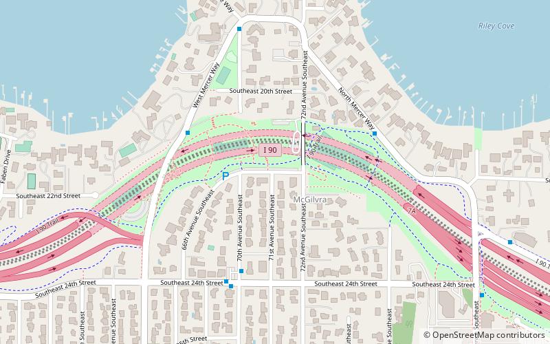
Aubrey Davis Park, formerly the Mercer Island Lid and First Hill Lid, is a park lid covering 2,800 feet of Interstate 90 between West Mercer Way and 76th Avenue Southeast on Mercer Island. The park was created as to minimize the impact of I-90, opening to the public in the 1990s. Former Mercer Island mayor Aubrey Davis lobbied for the park's creation in the 1970s. After his death in 2013, the park was renamed after him. ()
Elevation: 171 ft a.s.l.Coordinates: 47°35'29"N, 122°14'38"W
Day trips
Aubrey Davis Park – popular in the area (distance from the attraction)
Nearby attractions include: Bellevue Square, Lake Washington, Downtown Park, Mount Baker Park.
Frequently Asked Questions (FAQ)
How to get to Aubrey Davis Park by public transport?
The nearest stations to Aubrey Davis Park:
Bus
Bus
- W Mercer Way & SE 24th St • Lines: 892 (4 min walk)
- 70th Ave SE & SE 24th St • Lines: 630 (4 min walk)


