Union Block, Buchanan

Gallery (2)
Map
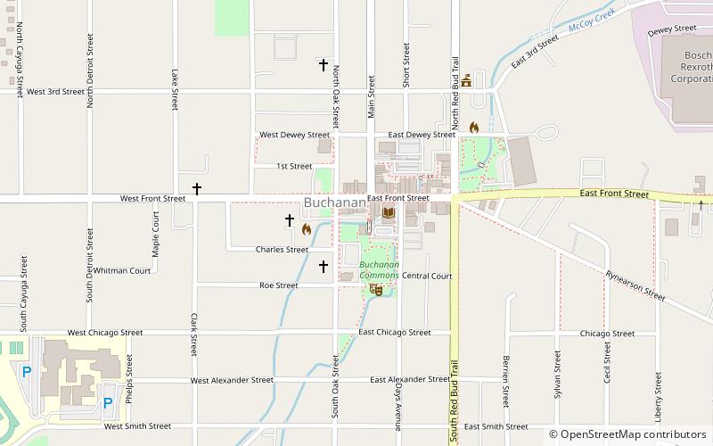
Map
Gallery
Facts and practical information
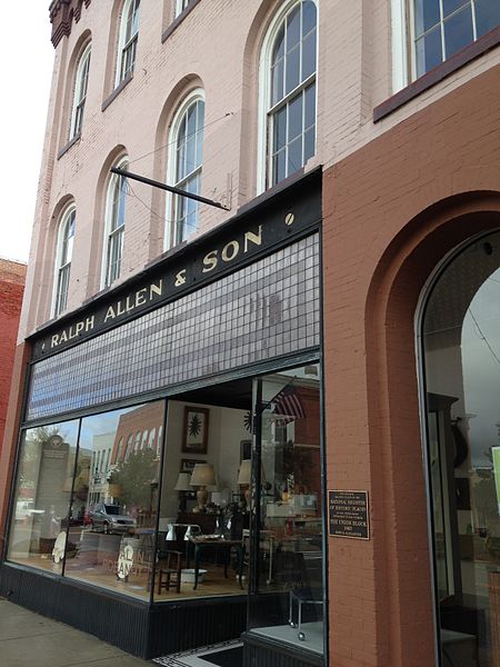
The Union Block, also known as Kinyon's Block, Roe's Block, or Pear's Block, is a commercial building located at 114 East Front Street in Buchanan, Michigan. It was listed on the National Register of Historic Places in 2007. ()
Built: 1862 (164 years ago)Coordinates: 41°49'37"N, 86°21'38"W
Address
128 E Front StBuchanan 49107
Contact
(269) 695-3681
Social media
Add
Day trips


