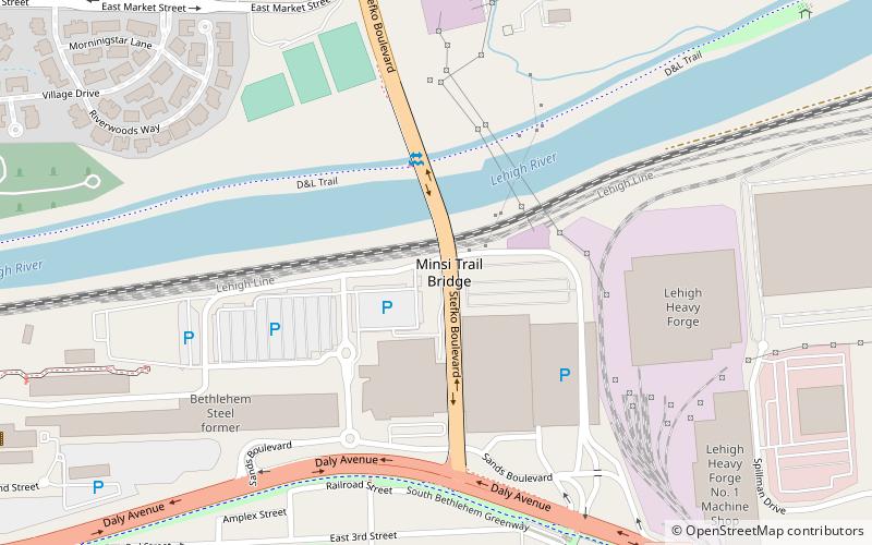
Minsi Trail Bridge, Bethlehem
Map

Map

Facts and practical information
The Minsi Trail Bridge is a bridge in Bethlehem, Pennsylvania, United States, which crosses the Lehigh River. It carries four lanes of Stefko Boulevard. The bridge was originally built during the early days of the Bethlehem Steel in the beginning of the 20th century, but was reconstructed due to structural problems in the 1970s. The new bridge opened in 1984, and the old bridge was demolished in 1985. The bridge's name is taken from a Native American route. ()
Coordinates: 40°36'59"N, 75°21'31"W
Address
South BethlehemBethlehem
ContactAdd
Social media
Add
Day trips
Minsi Trail Bridge – popular in the area (distance from the attraction)
Nearby attractions include: The Outlets at Sands Bethlehem, Moravian Museum, Moravian Book Shop, National Museum of Industrial History.
Frequently Asked Questions (FAQ)
Which popular attractions are close to Minsi Trail Bridge?
Nearby attractions include Wind Creek Bethlehem, Bethlehem (4 min walk), The Outlets at Sands Bethlehem, Bethlehem (4 min walk), Bethlehem Skateplaza, Bethlehem (9 min walk), Hoover Mason Trestle, Bethlehem (9 min walk).
How to get to Minsi Trail Bridge by public transport?
The nearest stations to Minsi Trail Bridge:
Bus
Bus
- South Bethlehem Bus Terminal (27 min walk)


