Mount Drum, Wrangell–Saint Elias Wilderness

Gallery (2)
Map
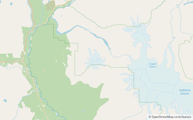
Map
Gallery
Facts and practical information
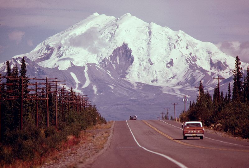
Mount Drum is a stratovolcano in the Wrangell Mountains of east-central Alaska in the United States. It is located at the extreme western end of the Wrangells, 18 miles west-southwest of Mount Sanford and the same distance west-northwest of Mount Wrangell. It lies just inside the western boundary of Wrangell-Saint Elias National Park and Preserve and is 25 miles east of the Copper River. ()
Alternative names: First ascent: 1954Elevation: 12010 ftProminence: 6710 ftCoordinates: 62°6'58"N, 144°38'13"W
Address
Wrangell–Saint Elias Wilderness
ContactAdd
Social media
Add
Day trips
Mount Drum – popular in the area (distance from the attraction)
Nearby attractions include: Snider Peak.
