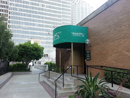
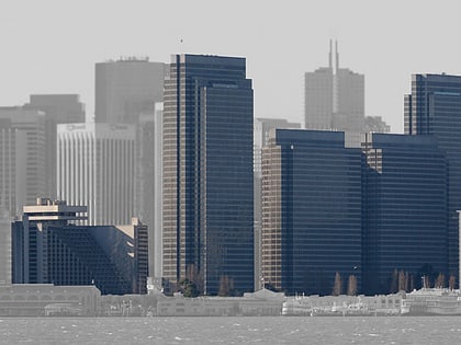
Mission Street, San Francisco
Facts and practical information
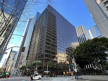
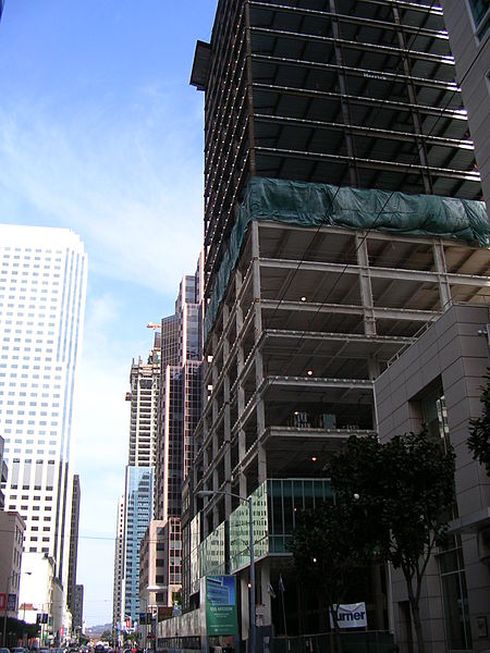
Mission Street is a north-south arterial thoroughfare in Daly City and San Francisco, California that runs from Daly City's southern border to San Francisco's northeast waterfront. The street and San Francisco's Mission District through which it runs were named for the Spanish Mission Dolores, several blocks away from the modern route. Only the southern half is historically part of El Camino Real, which connected the missions. Part of Mission Street in Daly City is signed as part of State Route 82. ()
Southeast San Francisco (South Beach)San Francisco
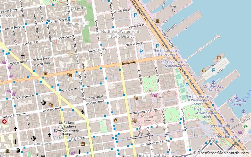
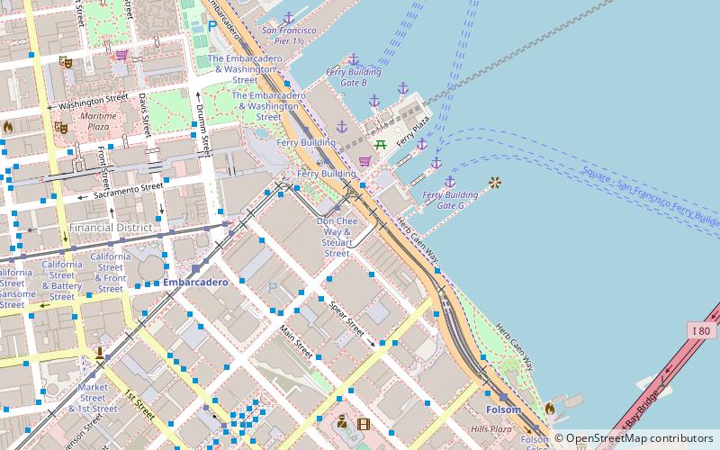
Mission Street – popular in the area (distance from the attraction)
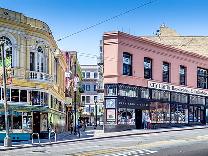
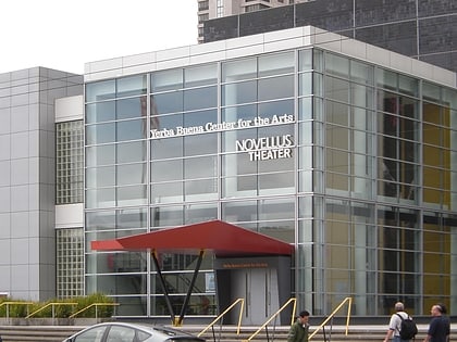
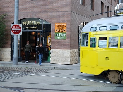
Nearby attractions include: City Lights Bookstore, Vaillancourt Fountain, Yerba Buena Center for the Arts, Old Ship Saloon.
Frequently Asked Questions (FAQ)
Which popular attractions are close to Mission Street?
How to get to Mission Street by public transport?
Trolleybus
- Steuart Street & Mission Street • Lines: 14 (1 min walk)
- Mission Street & Spear Street • Lines: 14 (3 min walk)
Bus
- Steuart Street & Mission Street • Lines: N-Owl (1 min walk)
- Don Chee Way & Steuart Street • Lines: L-Owl, N-Owl (1 min walk)
Tram
- Don Chee Way & Steuart Street • Lines: F (1 min walk)
- Ferry Building • Lines: F (3 min walk)
Ferry
- Ferry Building Gate F • Lines: San Francisco Bay Ferry (4 min walk)
- Pier 41 Gate 2 • Lines: Blue & Gold Fleet, San Francisco Bay Ferry (39 min walk)
Metro
- Embarcadero • Lines: Blue, Green, Red, Yellow (6 min walk)
- Montgomery Street • Lines: Blue, Green, Red, Yellow (15 min walk)
Light rail
- Embarcadero • Lines: K, N, S, T (6 min walk)
- Folsom • Lines: N, S, T (9 min walk)

 Muni Metro