City of Walnut Creek - City Hall, Walnut Creek


Facts and practical information
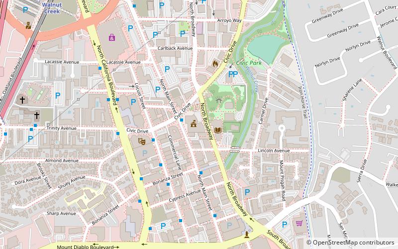
City of Walnut Creek - City Hall (address: 1666 N Main St) is a place located in Walnut Creek (California state) and belongs to the category of city hall.
It is situated at an altitude of 125 feet, and its geographical coordinates are 37°54'5"N latitude and 122°3'40"W longitude.
Planning a visit to this place, one can easily and conveniently get there by public transportation. City of Walnut Creek - City Hall is a short distance from the following public transport stations: North Main Street & Civic Drive (bus, 2 min walk), Walnut Creek (metro, 12 min walk).
Among other places and attractions worth visiting in the area are: Lesher Center for the Arts (concerts and shows, 5 min walk), Broadway Plaza (shopping, 12 min walk), Mount Diablo Unitarian Universalist Church (spiritual, 22 min walk).
City of Walnut Creek - City Hall – popular in the area (distance from the attraction)
Nearby attractions include: Broadway Plaza, Sunvalley Shopping Center, Willows Shopping Center, Lafayette Reservoir.
Frequently Asked Questions (FAQ)
Which popular attractions are close to City of Walnut Creek - City Hall?
How to get to City of Walnut Creek - City Hall by public transport?
Bus
- North Main Street & Civic Drive • Lines: 4 (2 min walk)
- Locust Street & Civic Drive • Lines: 4 (3 min walk)
Metro
- Walnut Creek • Lines: Yellow (12 min walk)


