Devils Den Hollow, Mark Twain National Forest
#42 among attractions in Mark Twain National Forest
Facts and practical information
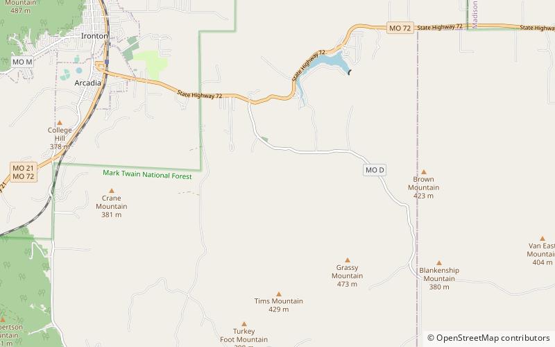
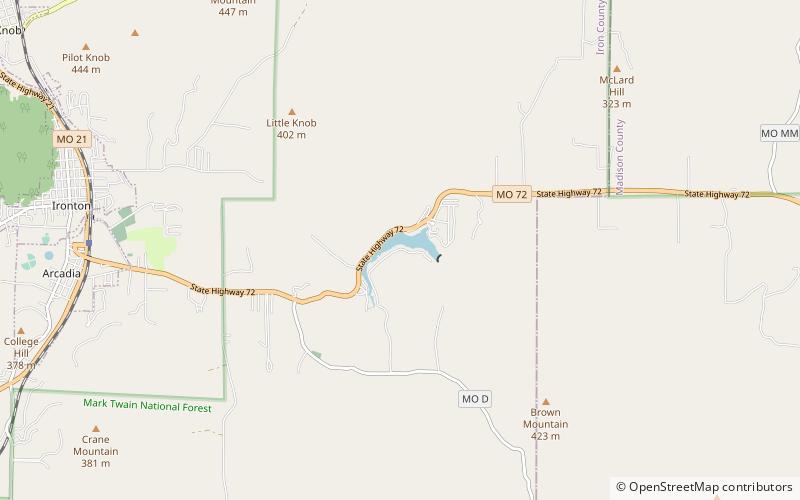
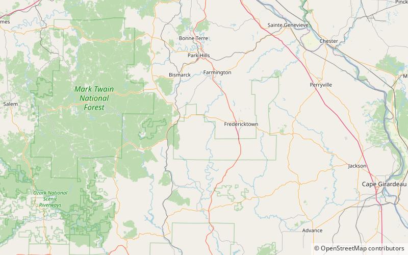
Devils Den Hollow is a valley in Iron County in the U.S. state of Missouri. ()
Mark Twain National Forest United States
Devils Den Hollow – popular in the area (distance from the attraction)
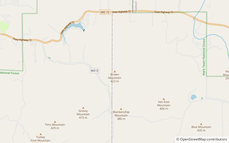
Nearby attractions include: Royal Gorge, Lake Killarney, Arcadia Valley, Brown Mountain.
 Natural attraction, Canyon
Royal Gorge, Pilot Knob
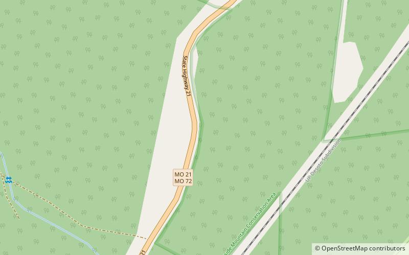
149 min walk • Royal Gorge is a gap in Iron County in the U.S. state of Missouri. The gap is at a point where Minor Creek cuts through a ridge in Ketcherside Mountain. Routes 72 and 21 pass through the gap southwest of Ironton. Royal Gorge most likely takes its name from the gorge of the same name in Colorado.
 Nature, Natural attraction, Lake
Lake Killarney, Mark Twain National Forest
40 min walk • Lake Killarney is a reservoir in Iron County in the U.S. state of Missouri. Lake Killarney takes its name from the Lakes of Killarney, in Ireland.
 Nature, Natural attraction, Valley
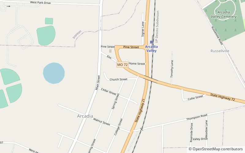
Arcadia Valley, Ironton
88 min walk • Arcadia Valley in Missouri is located 80 miles south of St. Louis in the St. Francois Mountains of the Ozark Plateau. The valley includes of the towns of Arcadia, Ironton and Pilot Knob, all founded in the 19th century.
 Nature, Natural attraction, Mountain
Brown Mountain, Mark Twain National Forest
51 min walk • Brown Mountain is a summit in Iron County in the U.S. state of Missouri. The peak is at an elevation of 1,388 feet. Brown Mountain has the name of the local Brown family.
 Nature, Natural attraction, Mountain
Blue Mountain, Mark Twain National Forest
131 min walk • Blue Mountain is a summit in Madison County in the U.S. state of Missouri. It has an elevation of 1,381 feet. Blue Mountain derives its name from the local Belew family.
 Greek Revival architecture
Iron County Courthouse, Ironton
81 min walk • Iron County Courthouse is a historic courthouse complex located in Ironton, Iron County, Missouri. In 1979 the courthouse, along with several associated buildings, was listed on the National Register of Historic Places.
 Forts and castles
Fort Hovey, Arcadia
72 min walk • Fort Hovey was a small Civil War era earth-and-wood fort built on a hill overlooking the junction of the road running south out of Ironton, Missouri and the road running east to Fredericktown, Missouri.
 Church, Gothic Revival architecture
St. Paul's Episcopal Church, Ironton
81 min walk • St. Paul's Episcopal Church is a historic Episcopal church located at the northwestern corner of Knob and Reynolds Streets in Ironton, Iron County, Missouri. It was built in 1870–1871, and is a rectangular, Gothic Revival style frame building. It measures 23 feet by 60 feet. It has a steep ridge roof and three story corner bell tower.
 Greek Revival architecture
Ironton Lodge Hall, Ironton
85 min walk • Ironton Lodge Hall, also known as Star of the West Lodge, No. 133, A. F. & A. M. Building; and Iron Lodge No. 107. I.O.O.F. is a historic lodge hall located at Ironton, Iron County, Missouri.
 Universities and schools, Tudor Revival architecture, Romanesque architecture
Arcadia College, Arcadia
70 min walk • Arcadia College, located in Arcadia, Missouri, United States, was founded by Rev. J.C. Berryman in 1843. The institution was associated with the Methodist Episcopal Church. Berryman then sold the institution in 1858 and it closed in 1861. The buildings were used as hospital for Union soldiers before reverting to Berryman in 1863.


