Wendell & Vickie Bell Soccer Complex, Lexington
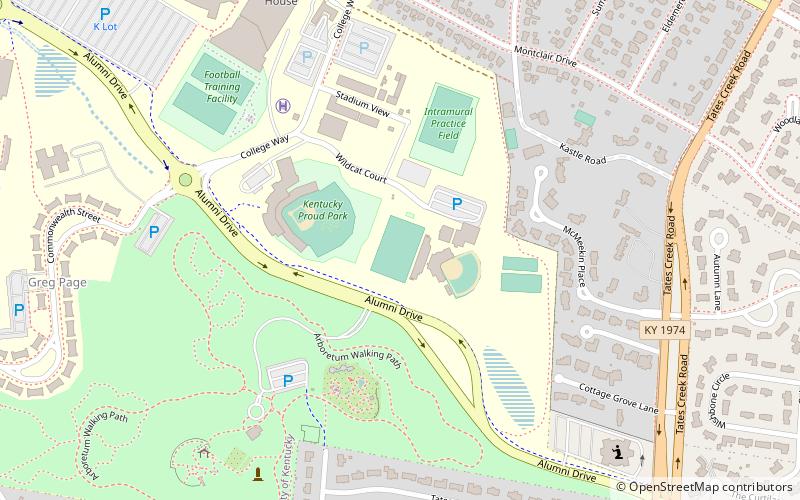
Map
Facts and practical information
The Wendell & Vickie Bell Soccer Complex, colloquially known as "The Bell" is a stadium at the University of Kentucky, in Lexington, Kentucky in the United States. It is the home of the university's men's and women's soccer teams. ()
Coordinates: 38°1'3"N, 84°30'3"W
Address
University of KentuckyLexington
ContactAdd
Social media
Add
Getting there by public transportation
Public transportation stops near this location
- Bus
 Bus
Bus
- Calculate route1387 - Nicholasville @ 1636 Inbound 19 min walk
- Calculate route1368 - Nicholasville @ Arcadia Outbound 19 min walk
- Calculate route1628 University @ Cooper Outbound 19 min walk
- Calculate route1369 - Nicholasville @ 1721 Outbound 19 min walk
Day trips


Frequently Asked Questions (FAQ)
Which popular attractions are close to Wendell & Vickie Bell Soccer Complex?
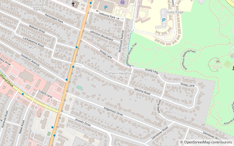
Nearby attractions include Shadeland, Lexington (11 min walk), Southern Heights, Lexington (18 min walk), Cliff Hagan Stadium, Lexington (18 min walk), University of Kentucky, Lexington (19 min walk).
How to get to Wendell & Vickie Bell Soccer Complex by public transport?
The nearest stations to Wendell & Vickie Bell Soccer Complex:
Bus
Bus
- 1387 - Nicholasville @ 1636 Inbound • Lines: 16 Southland Dr, 5 Nicholasville Road (19 min walk)
- 1368 - Nicholasville @ Arcadia Outbound • Lines: 16 Southland Dr, 5, 5 Nicholasville Road (19 min walk)