Zandale, Lexington
Map
Facts and practical information
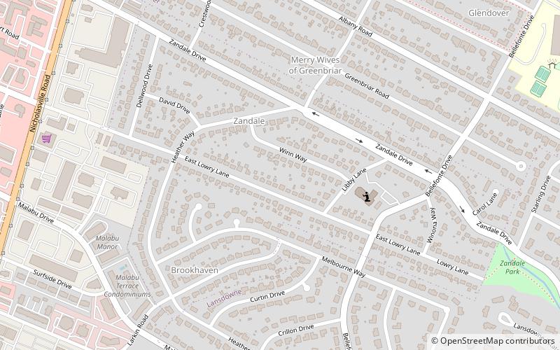
Zandale is a neighborhood in southeastern Lexington, Kentucky, United States. Its boundaries are Nicholasville Road to the west, Zandale Drive to the north, Bellefonte Drive to the east, and a combination of Larkin Road, Heather Way, Melbourne Way, and Lowry Lane to the south. ()
Coordinates: 38°0'15"N, 84°30'40"W
Address
ZandaleLexington
ContactAdd
Social media
Add
Day trips
Zandale – popular in the area (distance from the attraction)
Nearby attractions include: The Mall at Lexington Green, Fayette Mall, Artique Gallery, Oleika Shrine Temple.
Frequently Asked Questions (FAQ)
Which popular attractions are close to Zandale?
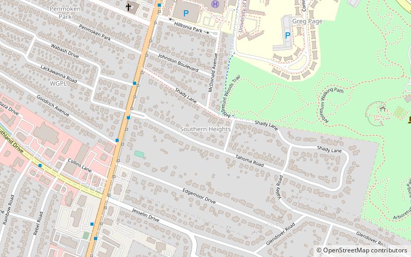
Nearby attractions include Southern Heights, Lexington (17 min walk), Shadeland, Lexington (22 min walk).
How to get to Zandale by public transport?
The nearest stations to Zandale:
Bus
Bus
- 65 - Nicholasville @ Southland Outbound • Lines: 5 (14 min walk)
- 1371 - Nicholasville @ Goodrich Outbound • Lines: 16 Southland Dr, 5, 5 Nicholasville Road (18 min walk)


