Trek Zone

Dry Ridge Mountain, Jedediah Smith Wilderness

#8 among attractions in Jedediah Smith Wilderness

Natural attraction, Mountain
Dry Ridge Mountain location map
Map

Facts and practical information
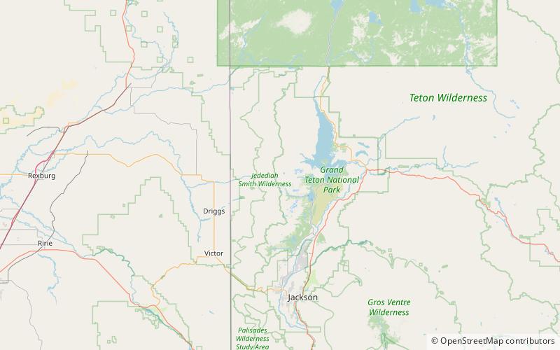
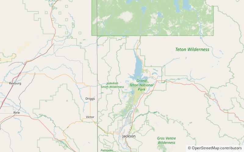
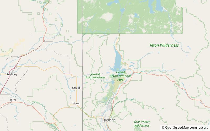
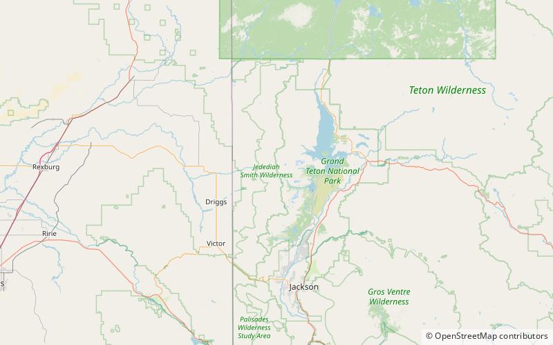
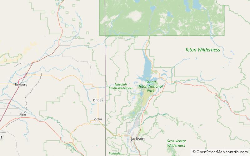
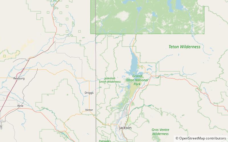
Elevation: 10326 ftCoordinates: 43°52'29"N, 110°52'19"W
Address

Jedediah Smith Wilderness United States

ContactAdd
Social media
Add
Day trips

Dry Ridge Mountain – popular in the area (distance from the attraction)

Nearby attractions include: Maidenform Peak, Bivouac Peak, Snowshoe Canyon, Webb Canyon.

  • maidenform peak grand teton national park location map
    3.6 miS
  • bivouac peak grand teton national park4.4 miE
  • snowshoe canyon grand teton national park4.9 miE
  • webb canyon grand teton national park3.7 miNE
  • moran canyon grand teton national park3.2 miS
  • leigh canyon grand teton national park4.5 miS
  • raynolds peak grand teton national park location map
    2.4 miE
  • traverse peak grand teton national park3.9 miE
  • rolling thunder mountain grand teton national park location map
    3.3 miE
  • littles peak jedediah smith wilderness location map
    4.7 miS
  • green lakes mountain grand teton national park location map
    0.8 miS

Where to next? Visit wyoming Wyoming region page or discover the top tourist attractions in United States.