Rolling Thunder Mountain, Grand Teton National Park
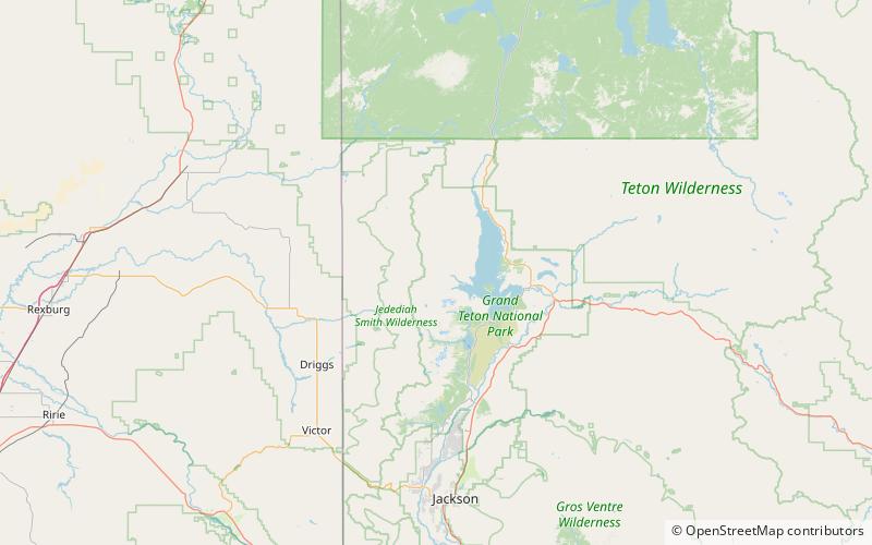
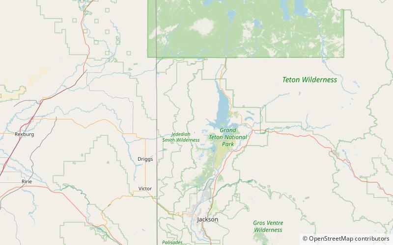
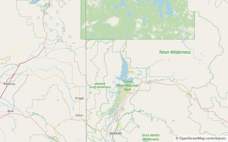
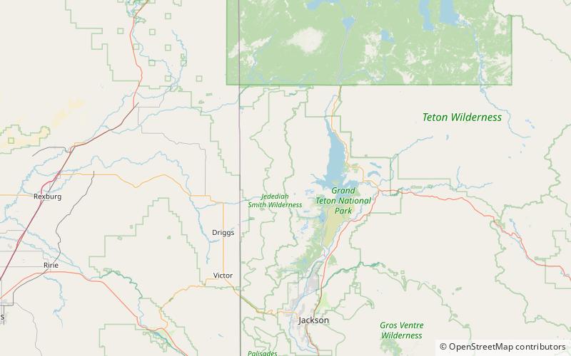
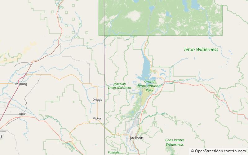
Map
Facts and practical information
Rolling Thunder Mountain is in the northern Teton Range, Grand Teton National Park, Wyoming. The peak is located northwest of Moran Bay on Jackson Lake and access to the peak involves navigating through several miles of backcountry areas of Snowshoe Canyon where there are no maintained trails. ()
Elevation: 10913 ftProminence: 668 ftCoordinates: 43°53'26"N, 110°48'36"W
Address
Grand Teton National Park
ContactAdd
Social media
Add
Day trips
Rolling Thunder Mountain – popular in the area (distance from the attraction)
Nearby attractions include: Waterfalls Canyon, Eagles Rest Peak, Bivouac Peak, Snowshoe Canyon.


