Business and Government Historic District, Baltimore
Map
Map

Facts and practical information
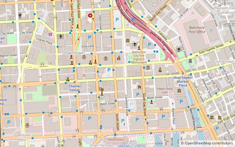
The Business and Government Historic District is a historic district in downtown Baltimore, Maryland, United States, that was listed on the National Register of Historic Places in 1987. The district comprises the center of Baltimore's municipal government and the eastern portion of Baltimore's commercial district. The major feature of the district is the War Memorial Plaza with City Hall to the west and the War Memorial to the east. ()
Coordinates: 39°17'24"N, 76°36'39"W
Address
Central Baltimore (Downtown Baltimore)Baltimore
ContactAdd
Social media
Add
Day trips
Business and Government Historic District – popular in the area (distance from the attraction)
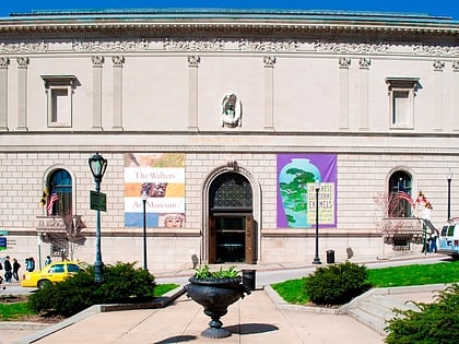
Nearby attractions include: Walters Art Museum, Royal Farms Arena, Baltimore Heritage Walk, War Memorial Plaza.
Frequently Asked Questions (FAQ)
Which popular attractions are close to Business and Government Historic District?
Nearby attractions include The Block, Baltimore (2 min walk), Baltimore City Hall, Baltimore (2 min walk), Canton House, Baltimore (2 min walk), One Calvert Plaza, Baltimore (2 min walk).
How to get to Business and Government Historic District by public transport?
The nearest stations to Business and Government Historic District:
Bus
Metro
Light rail
Train
Bus
- Redwood Street • Lines: Purple (4 min walk)
- Gay Street Eastbound • Lines: Green (4 min walk)
Metro
- Charles Center • Lines: M (5 min walk)
- Shot Tower/Market Place • Lines: M (7 min walk)
Light rail
- Baltimore Arena • Lines: Lr (12 min walk)
- Lexington Market • Lines: Lr (13 min walk)
Train
- Baltimore Camden Station (17 min walk)

