Delnor Wiggins Path State Park, Naples

Gallery (1)
Map
Map
Facts and practical information
Delnor-Wiggins Pass State Park is a Florida state park located on a barrier island on Florida's southwest coast near Naples, Florida, 6 miles west of I-75 in North Naples. The Cocohatchee River and the Gulf of Mexico are accessible from the park, which contains a hard-bottom reef. ()
Established: 1976 (50 years ago)Elevation: 3 ft a.s.l.Coordinates: 26°16'18"N, 81°49'33"W
Address
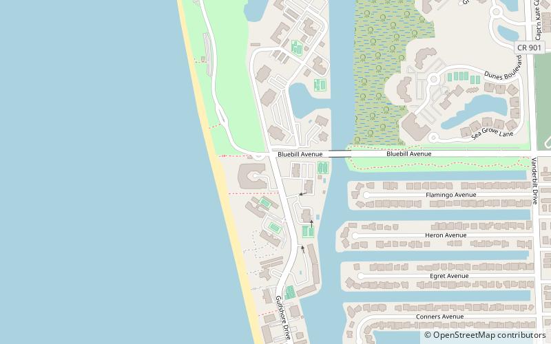
11100 Gulfshore DriveNorth Naples (Vanderbilt Beach)Naples 34108
Contact
+1 239-597-6196
Social media
Add
Day trips