Fauntleroy Park, Seattle
Map
Map

Facts and practical information
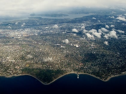
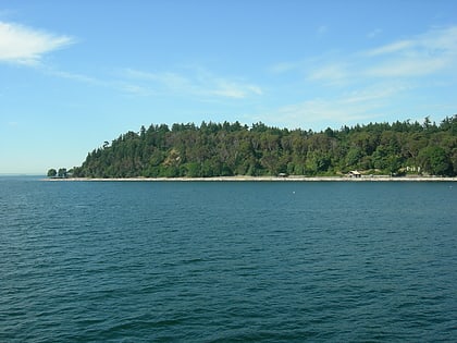
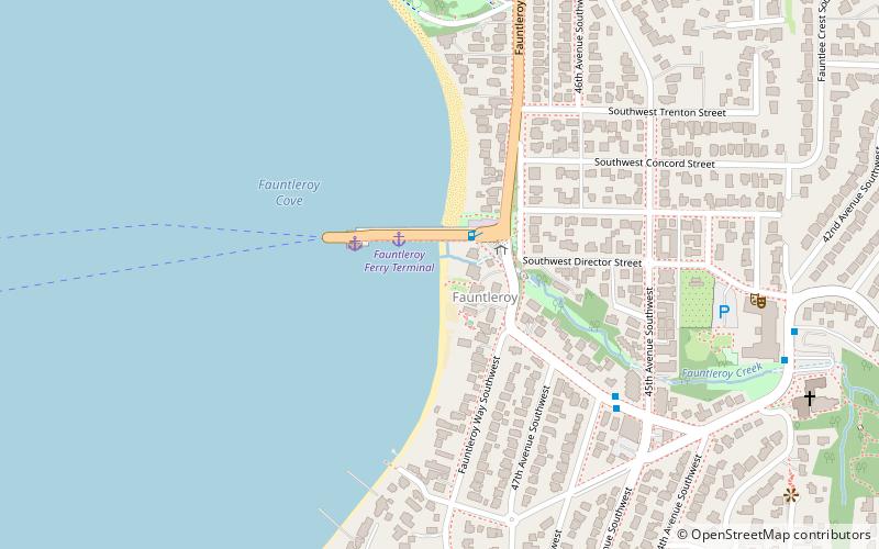
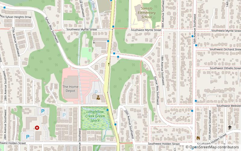
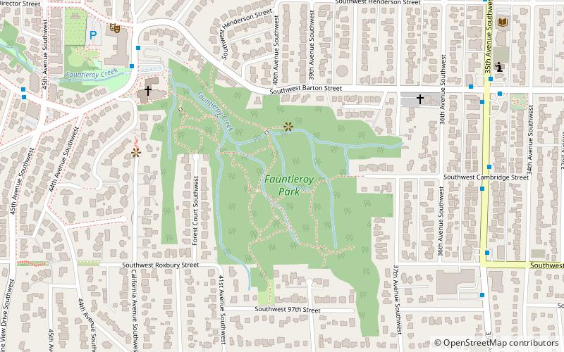
Fauntleroy Park is a 32.9-acre park in the Fauntleroy neighborhood of Seattle, Washington. Fauntleroy Creek begins here. Nearby Lincoln Park was called Fauntleroy Park until 1922. ()
Elevation: 233 ft a.s.l.Coordinates: 47°31'9"N, 122°22'59"W
Day trips
Fauntleroy Park – popular in the area (distance from the attraction)
Nearby attractions include: Lincoln Park, Psai-Yah-hus, Delridge, Fauntleroy.
Frequently Asked Questions (FAQ)
Which popular attractions are close to Fauntleroy Park?
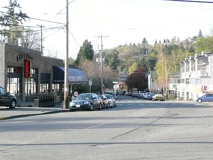
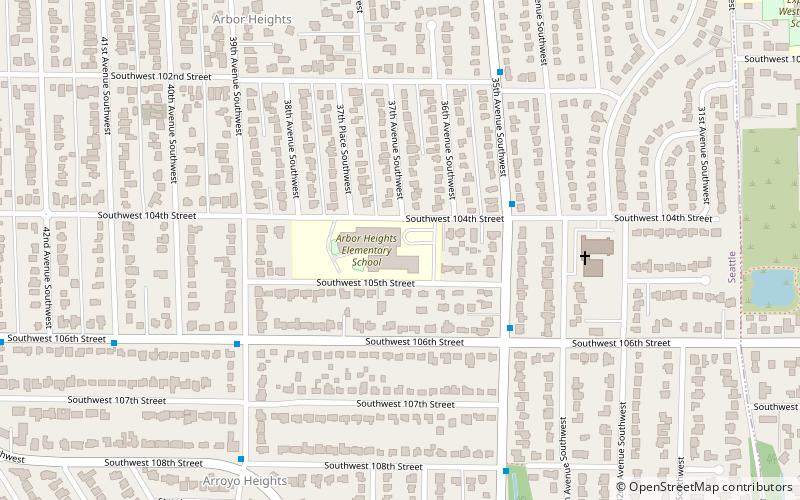
Nearby attractions include Fauntleroy, Seattle (3 min walk), Psai-Yah-hus, Seattle (15 min walk), Arbor Heights, Seattle (19 min walk).
How to get to Fauntleroy Park by public transport?
The nearest stations to Fauntleroy Park:
Bus
Bus
- California Ave SW & SW Barton St • Lines: C (7 min walk)
- 35th Ave SW & SW Cambridge St • Lines: 21, 21E (8 min walk)
