Arbor Heights, Seattle
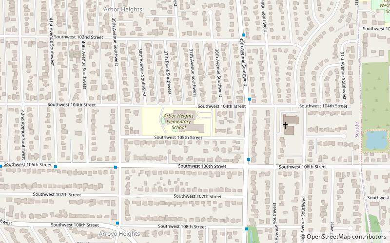
Map
Facts and practical information
Arbor Heights is a neighborhood in West Seattle, Washington, made up of the area south of SW Roxbury Street, north and east of Puget Sound, but excluding the downhill portion on the west side of this region. It is the southernmost section of West Seattle. ()
Coordinates: 47°30'34"N, 122°22'41"W
Address
West Seattle (Arbor Heights)Seattle
ContactAdd
Social media
Add
Getting there by public transportation
Public transportation stops near this location
- Bus
 Bus
Bus
- Calculate route35th Ave SW & SW 104th St 4 min walk
- Calculate routeSW 106th St & 39th Ave SW 5 min walk
Day trips


Frequently Asked Questions (FAQ)
Which popular attractions are close to Arbor Heights?
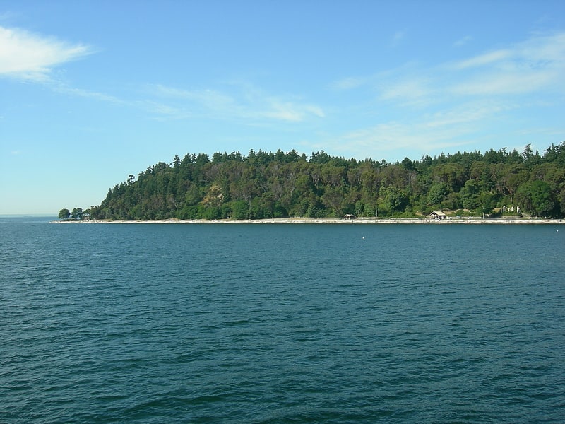
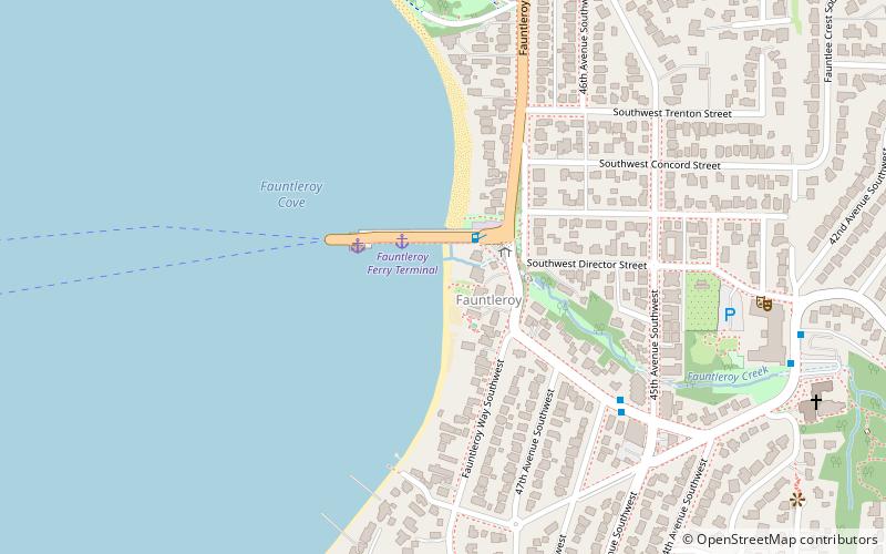
Nearby attractions include Fauntleroy Park, Seattle (19 min walk), Fauntleroy, Seattle (21 min walk).
How to get to Arbor Heights by public transport?
The nearest stations to Arbor Heights:
Bus
Bus
- 35th Ave SW & SW 104th St • Lines: 21E (4 min walk)
- SW 106th St & 39th Ave SW • Lines: 21E (5 min walk)