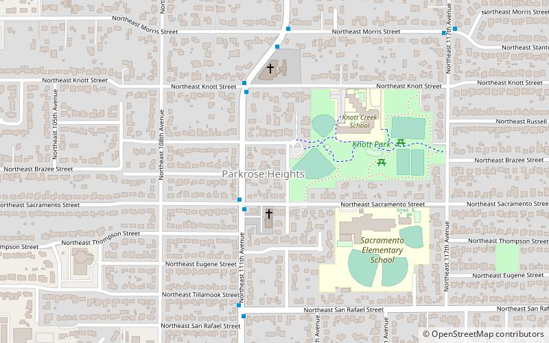
Parkrose Heights, Portland
Map
Facts and practical information
Parkrose Heights is a neighborhood in the Northeast section of Portland, Oregon. ()
Coordinates: 45°32'25"N, 122°32'53"W
Getting there by public transportation
Public transportation stops near this location
- Bus
- Light rail
 Bus
Bus
- Calculate routeNortheast 111th & Sacramento 2 min walk
- Calculate routeGateway/Northeast 99th Avenue Transit Center 26 min walk
Day trips


Frequently Asked Questions (FAQ)
How to get to Parkrose Heights by public transport?
The nearest stations to Parkrose Heights:
Bus
Light rail
Bus
- Northeast 111th & Sacramento • Lines: 23 (2 min walk)
Light rail
- Gateway/Northeast 99th Avenue Transit Center • Lines: Blue, Green, Red (26 min walk)