Russell, Portland

Map
Facts and practical information
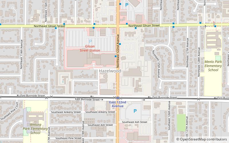
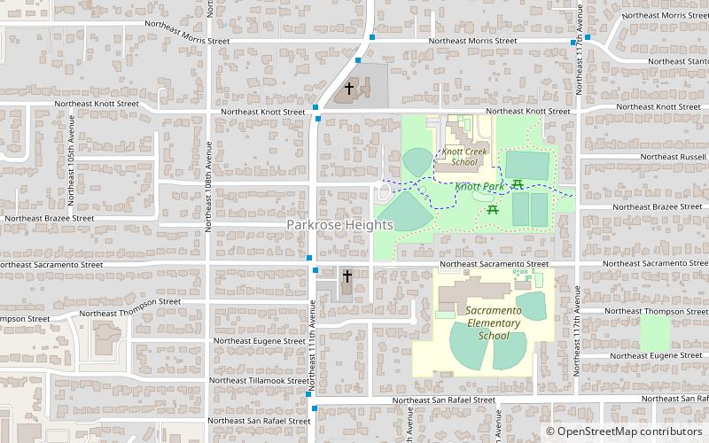
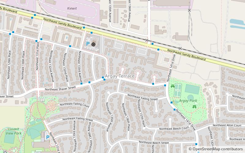
Russell is a neighborhood in the northeast section of Portland, Oregon, United States. Russell lies between Interstate 84 on the north and NE Halsey St. on the south, and between NE 122nd Ave on the west and NE 142nd Ave. on the east. It borders Argay on the north, Wilkes on the east, Hazelwood on the south, and Parkrose Heights on the west. ()
Coordinates: 45°32'20"N, 122°31'37"W
Day trips
Russell – popular in the area (distance from the attraction)
Nearby attractions include: Glendoveer Golf Course, Glenfair, Hazelwood, Parkrose Heights.
Frequently Asked Questions (FAQ)
How to get to Russell by public transport?
The nearest stations to Russell:
Bus
Light rail
Bus
- Northeast 132nd & Eugene • Lines: 23 (1 min walk)
Light rail
- East 122nd Avenue • Lines: Blue (32 min walk)
- East 148th Avenue • Lines: Blue (36 min walk)


