Kakaako, Honolulu
Map

Map

Facts and practical information
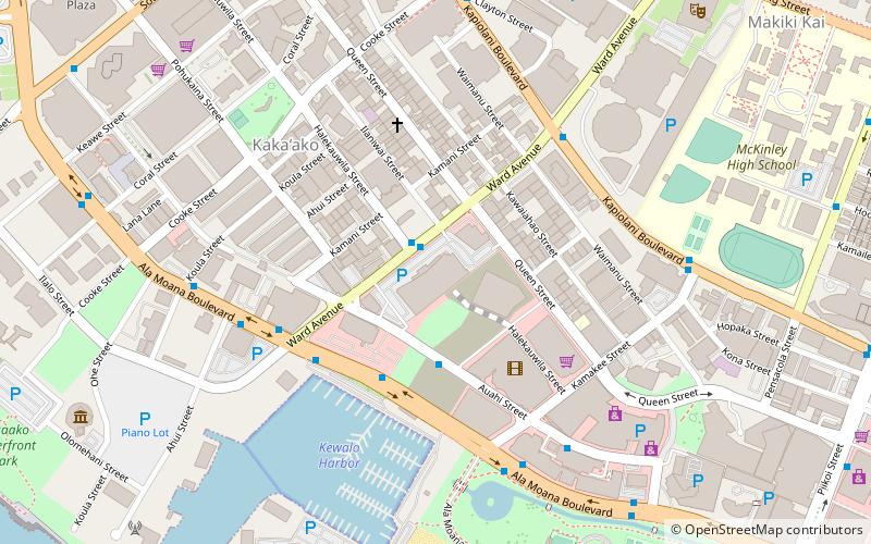
Kakaʻako is a commercial and retail district of Honolulu, Hawaiʻi between Ala Moana near Waikīkī to the east and downtown Honolulu and Honolulu Harbor to the west. Kakaʻako is situated along the southern shores of the island of Oʻahu, Hawaii. ()
Coordinates: 21°17'47"N, 157°51'18"W
Address
Ala Moana - KakaakoHonolulu
ContactAdd
Social media
Add
Day trips
Kakaako – popular in the area (distance from the attraction)
Nearby attractions include: Aloha Tower Marketplace, Ala Moana Center, Aloha Tower, Statues of Kamehameha I.
Frequently Asked Questions (FAQ)
Which popular attractions are close to Kakaako?
Nearby attractions include Ward Village, Honolulu (2 min walk), Hawaii Pirate Ship Adventures, Honolulu (5 min walk), Kewalo Basin, Honolulu (7 min walk), Makiki Christian Church, Honolulu (12 min walk).
How to get to Kakaako by public transport?
The nearest stations to Kakaako:
Bus
Bus
- Ward Avenue + Opposite Halekauwila Street • Lines: 6 (1 min walk)
- Auahi Street + Ward Avenue • Lines: 6 (4 min walk)


