Shepherd Parkway, Washington D.C.
Map
Facts and practical information
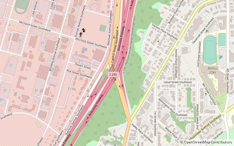
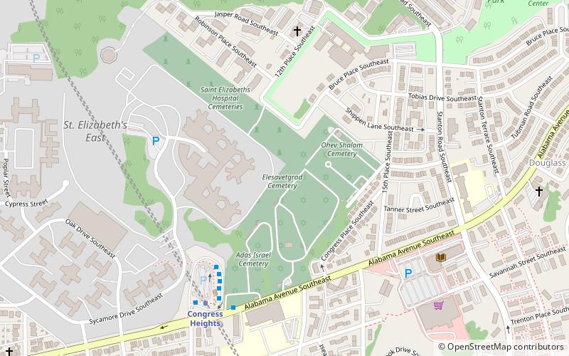
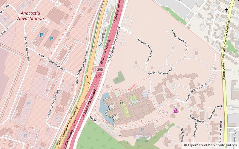
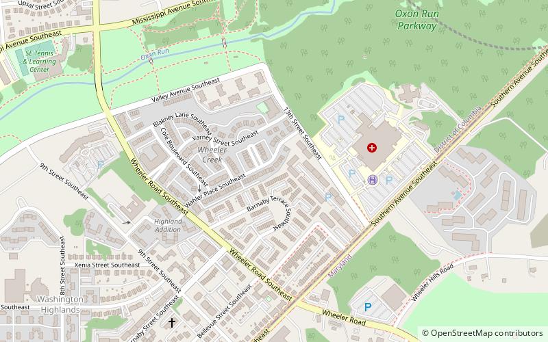
Shepherd Parkway is part of the Civil War Defenses of Washington. It includes two forts, of which some remains still exist. The parkway runs along the high ground opposite the Anacostia Freeway from Joint Base Anacostia–Bolling in the District of Columbia. Shepherd Parkway is bordered on the north by St. Elizabeths Campus and the District of Columbia neighborhoods of Congress Heights and Bellevue and on the south by Bald Eagle Hill. ()
Established: 1927 (99 years ago)Elevation: 89 ft a.s.l.Coordinates: 38°50'19"N, 77°0'31"W
Getting there by public transportation
Public transportation stops near this location
- Metro
- Bus
 Metro
Metro
- Calculate routeCongress Heights 31 min walk
- Calculate routeE 32 min walk
- Calculate routeD 32 min walk
- Calculate routeC 32 min walk
- Calculate routeB 32 min walk
Day trips


Frequently Asked Questions (FAQ)
Which popular attractions are close to Shepherd Parkway?
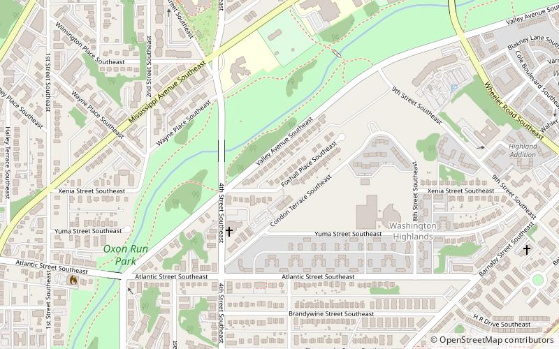
Nearby attractions include Bellevue / William O. Lockridge Library, Washington D.C. (13 min walk), Oxon Run Park, Washington D.C. (17 min walk), Bellevue, Washington D.C. (22 min walk), Washington Highlands, Washington D.C. (23 min walk).
How to get to Shepherd Parkway by public transport?
The nearest stations to Shepherd Parkway:
Metro
Bus
Metro
- Congress Heights • Lines: Gr (31 min walk)
Bus
- E • Lines: 92 (32 min walk)
- D • Lines: W2, W3 (32 min walk)