Bellevue / William O. Lockridge Library, Washington D.C.
Map
Facts and practical information
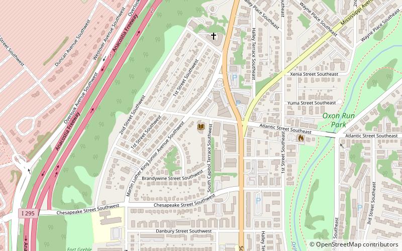
Bellevue/William O. Lockridge Neighborhood Library is part of the District of Columbia Public Library System. It was originally opened to the public in 1959. It was renovated with a design by British architect David Adjaye and named after activist William O'Neal Lockridge. ()
Coordinates: 38°49'53"N, 77°0'34"W
Address
115 Atlantic Street SwSoutheast Washington (Congress Heights)Washington D.C.
Contact
Social media
Add
Getting there by public transportation
Public transportation stops near this location
- Metro
- Bus
 Metro
Metro
- Calculate routeCongress Heights 38 min walk
- Calculate routeE 39 min walk
- Calculate routeD 39 min walk
- Calculate routeC 40 min walk
- Calculate routeB 40 min walk
Day trips


Frequently Asked Questions (FAQ)
Which popular attractions are close to Bellevue / William O. Lockridge Library?
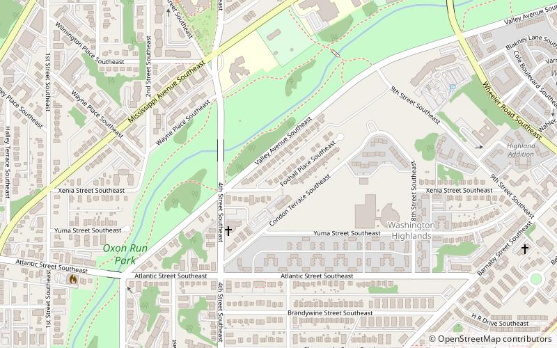
Nearby attractions include Bellevue, Washington D.C. (9 min walk), Shepherd Parkway, Washington D.C. (13 min walk), Oxon Run Park, Washington D.C. (15 min walk), Washington Highlands, Washington D.C. (21 min walk).
How to get to Bellevue / William O. Lockridge Library by public transport?
The nearest stations to Bellevue / William O. Lockridge Library:
Metro
Bus
Metro
- Congress Heights • Lines: Gr (38 min walk)
Bus
- E • Lines: 92 (39 min walk)
- D • Lines: W2, W3 (39 min walk)