Easton's Point, Newport
Map
Gallery

Facts and practical information
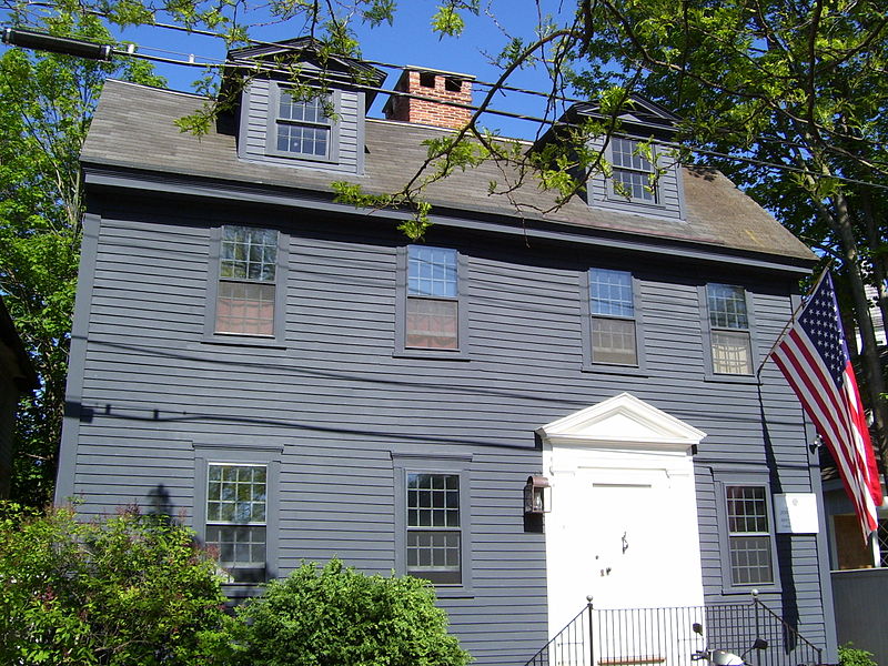
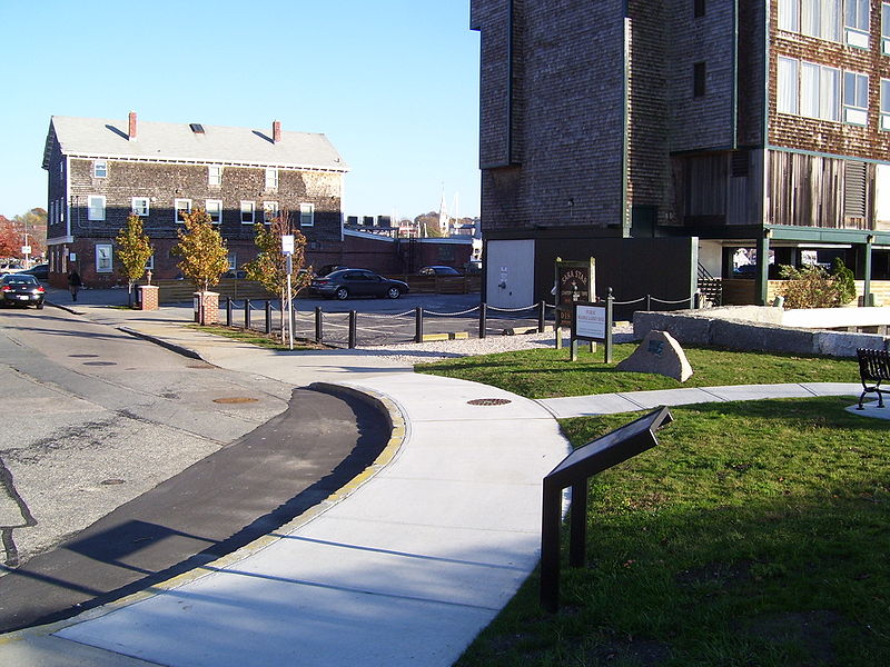
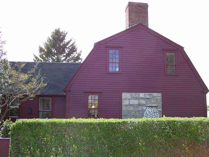
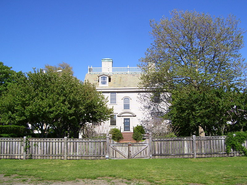
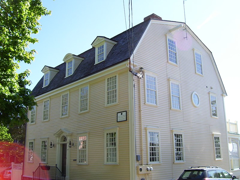
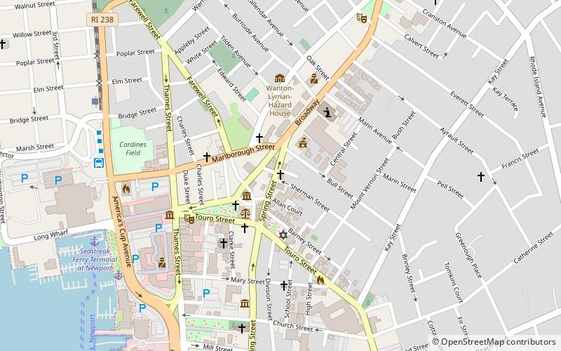
The Point is one of the oldest neighborhoods in Newport, Rhode Island and has one of the highest concentrations of colonial houses in the United States. The neighborhood sits between Washington Street and Farewell Street/America's Cup in Newport looking out on Goat Island, former home to the U.S. Naval Torpedo Station. ()
Coordinates: 41°29'42"N, 71°19'11"W
Day trips
Easton's Point – popular in the area (distance from the attraction)
Nearby attractions include: Newport Casino, Colony House, Cardines Field, Common Burying Ground and Island Cemetery.
Frequently Asked Questions (FAQ)
Which popular attractions are close to Easton's Point?
Nearby attractions include The Zabriskie Memorial Church of Saint John the Evangelist, Newport (3 min walk), Hunter House, Newport (5 min walk), Common Burying Ground and Island Cemetery, Newport (6 min walk), Old Colony and Newport Railway, Newport (6 min walk).
How to get to Easton's Point by public transport?
The nearest stations to Easton's Point:
Bus
Bus
- Newport Gateway Center Stop D • Lines: 14 (7 min walk)
- Newport Gateway Center Stop C • Lines: 60 (7 min walk)


