Williamsburg, New York City
Map
Gallery
Facts and practical information
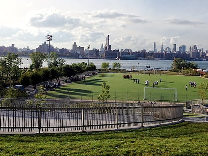
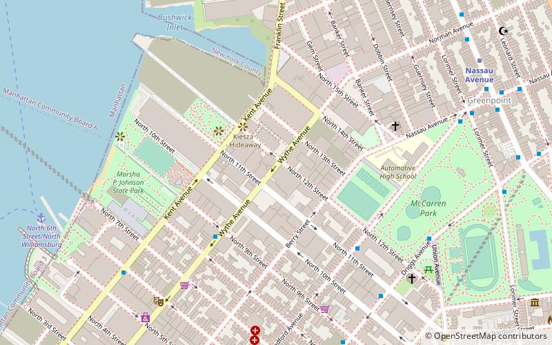
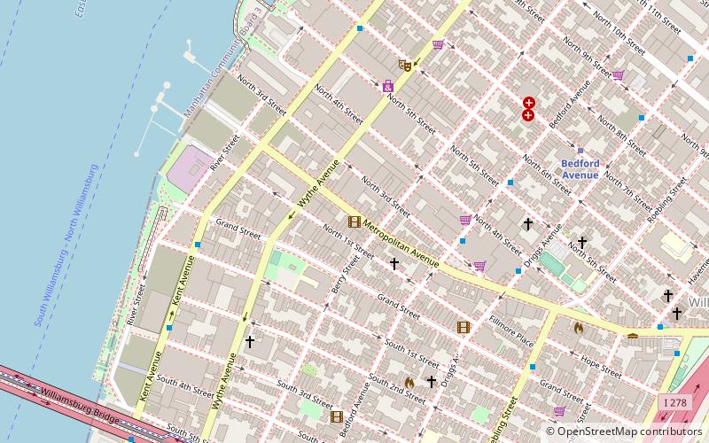
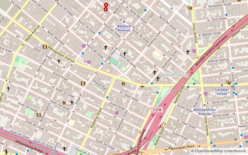
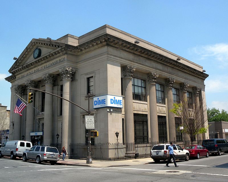
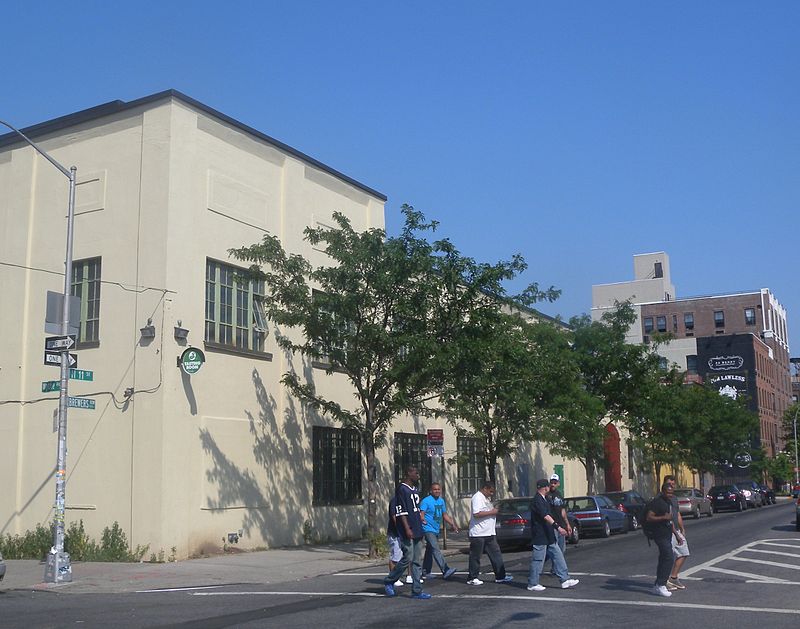
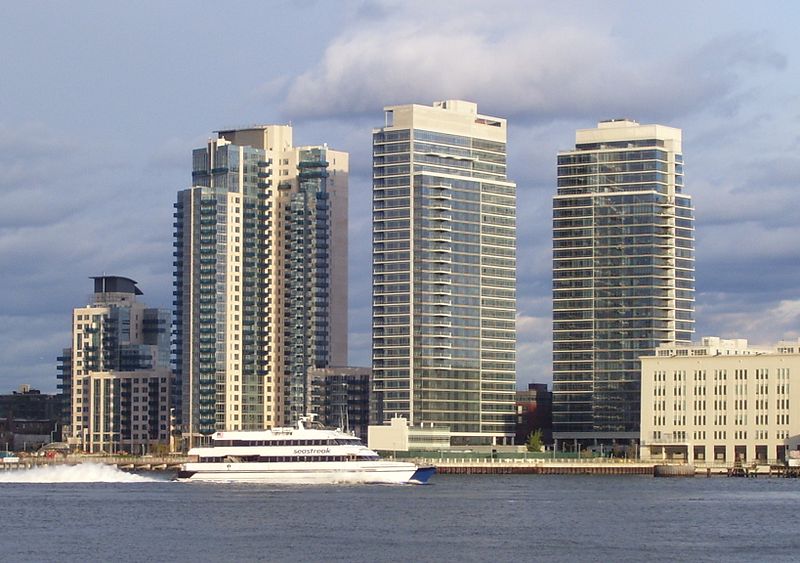
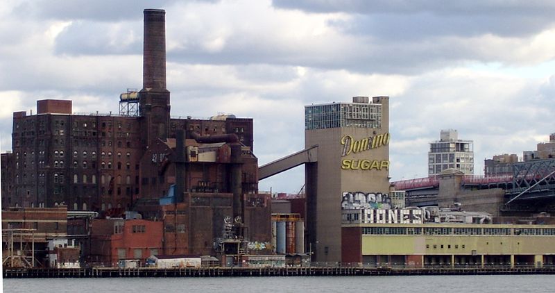
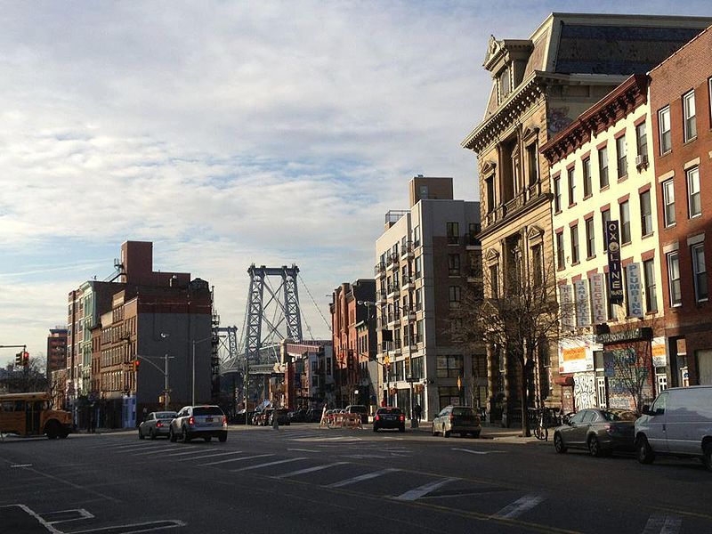
Williamsburg is a neighborhood in the New York City borough of Brooklyn, bordered by Greenpoint to the north; Bedford–Stuyvesant to the south; Bushwick and East Williamsburg to the east; and the East River to the west. As of the 2020 United States census, the neighborhood's population is 151,308. ()
Day trips
Williamsburg – popular in the area (distance from the attraction)
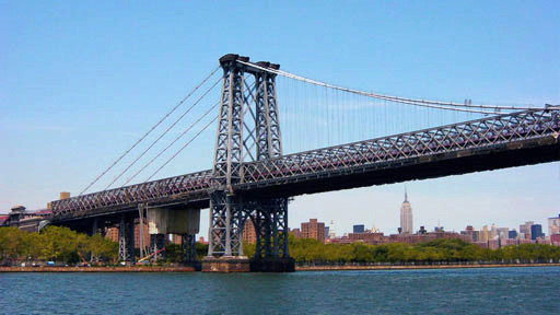
Nearby attractions include: Williamsburg Bridge, Museum of Food and Drink, Martinez Playground, East River Park.
Frequently Asked Questions (FAQ)
Which popular attractions are close to Williamsburg?
Nearby attractions include Front Room Gallery, New York City (3 min walk), Ascenzi Square, New York City (4 min walk), The City Reliquary, New York City (6 min walk), Kings County Savings Bank, New York City (9 min walk).
How to get to Williamsburg by public transport?
The nearest stations to Williamsburg:
Metro
Bus
Metro
- Bedford Avenue • Lines: L (8 min walk)
- Marcy Avenue • Lines: J, M, Z (11 min walk)
Bus
- Vanderbilt Avenue & Flushing Avenue • Lines: B69 (33 min walk)
- Flushing Avenue & Cumberland Street • Lines: B57, B69 (35 min walk)



 Subway
 Manhattan Buses


