Bushwick Inlet Park, Sea Gate
Map
Gallery
Facts and practical information
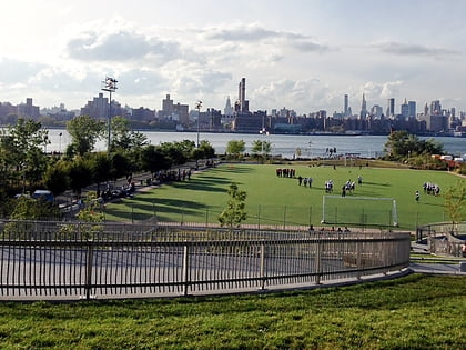
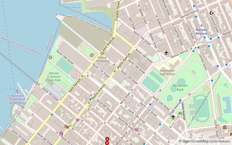
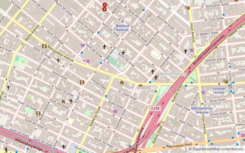
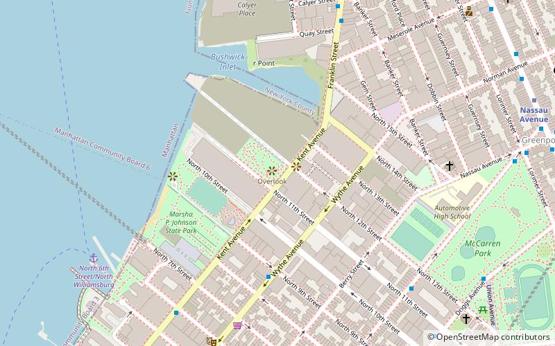
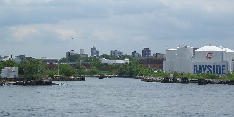
Bushwick Inlet Park is a public park in the Williamsburg neighborhood of Brooklyn, New York City. The park currently stretches along the East River between North 9th and 12th Streets, and is eventually planned to reach into Greenpoint at Quay Street. The park is named for Bushwick Inlet, which will be in a future northern extension. ()
Elevation: 10 ft a.s.l.Coordinates: 40°43'23"N, 73°57'33"W
Address
50 Kent AvenueNorthern Brooklyn (Williamsburg)Sea Gate
ContactAdd
Social media
Add
Day trips
Bushwick Inlet Park – popular in the area (distance from the attraction)
Nearby attractions include: Williamsburg Bridge, Museum of Food and Drink, East River Park, Brooklyn Bowl.
Frequently Asked Questions (FAQ)
Which popular attractions are close to Bushwick Inlet Park?
Nearby attractions include Brooklyn Bowl, New York City (3 min walk), Museum of Pizza, New York City (4 min walk), Music Hall of Williamsburg, New York City (8 min walk), Russian Orthodox Cathedral of the Transfiguration of Our Lord, New York City (10 min walk).
How to get to Bushwick Inlet Park by public transport?
The nearest stations to Bushwick Inlet Park:
Metro
Bus
Metro
- Bedford Avenue • Lines: L (11 min walk)
- Nassau Avenue • Lines: G (12 min walk)
Bus
- 1 Av & E 25 St • Lines: M15-Sbs (37 min walk)
- 2 Av/E 23 St • Lines: M15, M15-Sbs (40 min walk)
