Denny Field, Seattle
Map
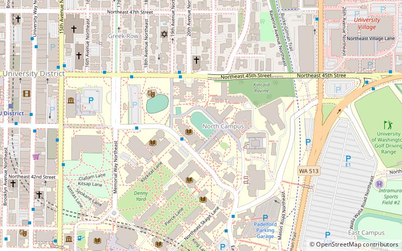
Map

Facts and practical information
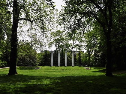
Denny Field is located on the campus of the University of Washington in Seattle. It was the home grounds for the university's football team for a quarter century, from 1895 until 1920. Washington compiled an overall home record of 87 wins, 15 losses, and 13 ties on the field including an NCAA record 59–0–4 winning streak from 1907 to 1917. ()
Opened: 1895 (131 years ago)Coordinates: 47°39'35"N, 122°18'22"W
Address
Northeast Seattle (University District)Seattle
ContactAdd
Social media
Add
Day trips
Denny Field – popular in the area (distance from the attraction)
Nearby attractions include: University Village, Burke Museum, Broken Obelisk, Husky Stadium.
Frequently Asked Questions (FAQ)
Which popular attractions are close to Denny Field?
Nearby attractions include Foster Business Library, Seattle (3 min walk), Theodor Jacobsen Observatory, Seattle (4 min walk), Denny Hall, Seattle (5 min walk), The Quad, Seattle (5 min walk).
How to get to Denny Field by public transport?
The nearest stations to Denny Field:
Bus
Trolleybus
Light rail
Bus
- Stevens Way & Memorial Way • Lines: 277, 860, 871, 880 (4 min walk)
- Stevens Way & Pend Oreille Rd • Lines: 277, 372, 45, 65, 67, 75, 860, 871, 880 (6 min walk)
Trolleybus
- 15th Ave NE & NE 42nd St • Lines: 43, 44, 49, 70 (8 min walk)
Light rail
- U District • Lines: 1 (10 min walk)
- University of Washington • Lines: 1 (18 min walk)


