Soupy Island, National Park
Map
Facts and practical information
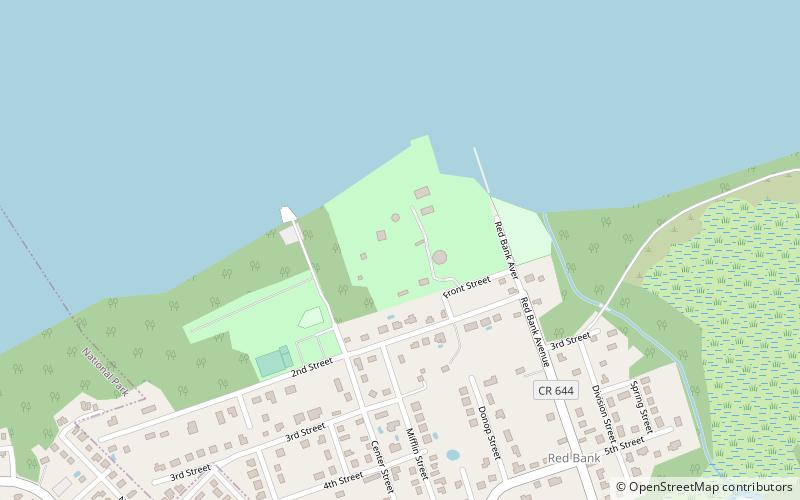
Soupy Island (address: 1718 Front St) is a place located in National Park (New Jersey state) and belongs to the category of playground, relax in park, park.
It is situated at an altitude of 16 feet, and its geographical coordinates are 39°52'35"N latitude and 75°10'38"W longitude.
Among other places and attractions worth visiting in the area are: Fort Mercer (forts and castles, 19 min walk), Red Bank Battlefield (museum, 20 min walk), Whitall House (specialty museum, 22 min walk).
Elevation: 16 ft a.s.l.Coordinates: 39°52'35"N, 75°10'38"W
Address
1718 Front StNational Park
ContactAdd
Social media
Add
Day trips


Frequently Asked Questions (FAQ)
Which popular attractions are close to Soupy Island?
Nearby attractions include Fort Mercer, National Park (19 min walk), Red Bank Battlefield, National Park (20 min walk), Whitall House, National Park (22 min walk).