Transportation Library, Berkeley
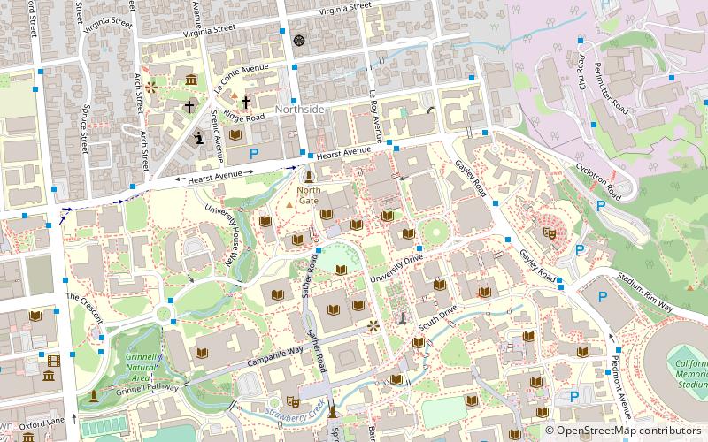
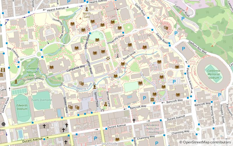
Map
Facts and practical information
The Harmer E. Davis Transportation Library —also known as the Institute of Transportation Studies Library, the Berkeley Transportation Library, or simply as the Transportation Library— is a transportation library at the University of California, Berkeley, devoted to transportation studies. ()
Coordinates: 37°52'26"N, 122°15'32"W
Address
Harmer E Davis Transportation Library, 412 McLaughlin Hall, University of California at BerkeleyBerkeley (University of California-Berkeley)Berkeley
Contact
Social media
Add
Getting there by public transportation
Public transportation stops near this location
- Metro
- Bus
 Metro
Metro
- Calculate routeMoffitt Library 2 min walk
- Calculate routeHearst Mining Circle 3 min walk
- Calculate routeHearst Avenue & Le Roy Avenue 3 min walk
- Calculate routeEuclid Avenue & Hearst Avenue 3 min walk
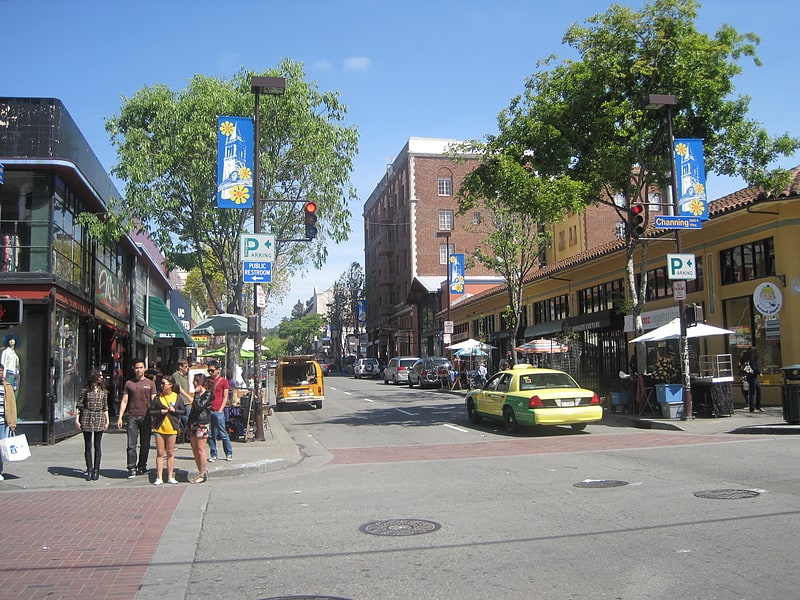
- Calculate routeDowntown Berkeley 15 min walk
Day trips


Frequently Asked Questions (FAQ)
Which popular attractions are close to Transportation Library?
Nearby attractions include Bancroft Library, Berkeley (3 min walk), Doe Memorial Library, Berkeley (3 min walk), Sather Tower, Berkeley (4 min walk), Free Speech Movement Cafe, Berkeley (4 min walk).
How to get to Transportation Library by public transport?
The nearest stations to Transportation Library:
Bus
Metro
Bus
- Moffitt Library • Lines: C, N, Ss (2 min walk)
- Hearst Mining Circle • Lines: C, H, N, P, Rfs, Ss (3 min walk)
Metro
- Downtown Berkeley • Lines: Orange, Red (15 min walk)