Westland Mall, Columbus
Map

Map

Facts and practical information
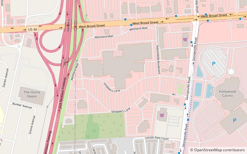
Westland Mall is a defunct 860,000-square-foot shopping center located at the intersection of U.S. Route 40 and Interstate 270 on the west side of Columbus, Ohio. In November 2012, the majority of the mall closed, and the last anchor closed in 2017. Developers plan to demolish the structure and build a mixed-use project at the site. ()
Coordinates: 39°57'0"N, 83°6'55"W
Day trips
Westland Mall – popular in the area (distance from the attraction)
Nearby attractions include: Scioto Country Club, Camp Chase, Green Lawn Cemetery, Gantz Park.
Frequently Asked Questions (FAQ)
How to get to Westland Mall by public transport?
The nearest stations to Westland Mall:
Bus
Bus
- 4250 W Broad St • Lines: 6 (6 min walk)
- Georgesville Rd & Casino Service Rd • Lines: 6 (8 min walk)


