Ohio to Erie Trail, Columbus
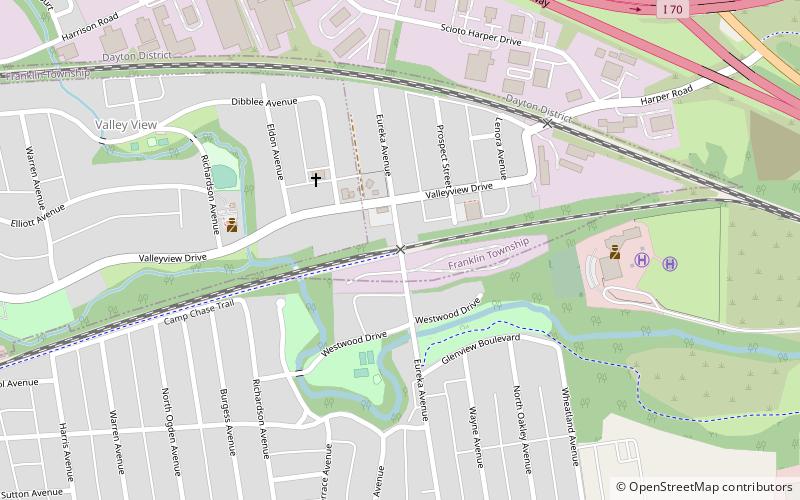
Map

Map

Facts and practical information
The Ohio to Erie Trail is a route for non-motorists that traverses the U.S. state of Ohio, from southwest to northeast. It is named for its endpoints, the Ohio River at Cincinnati and Lake Erie at Cleveland. The route largely consists of rail trails and other multi-use trails but also includes some on-road segments in anticipation of future segregated cycle facilities. The route as a whole is intended for bicyclists and hikers, while some trails along the route also permit equestrian and horse and buggy traffic. ()
Season: All yearCoordinates: 39°57'49"N, 83°3'60"W
Address
Hilltop (Valleyview)Columbus
ContactAdd
Social media
Add
Day trips
Ohio to Erie Trail – popular in the area (distance from the attraction)
Nearby attractions include: The Tree Bar, Old Franklinton Cemetery, Mount Calvary Cemetery, Camp Chase.


