Columbia Heights, Washington D.C.
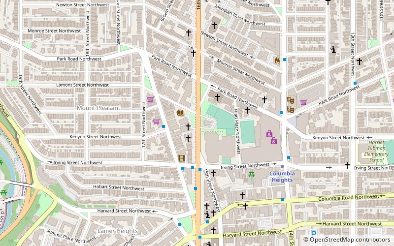
Map
Gallery
Facts and practical information
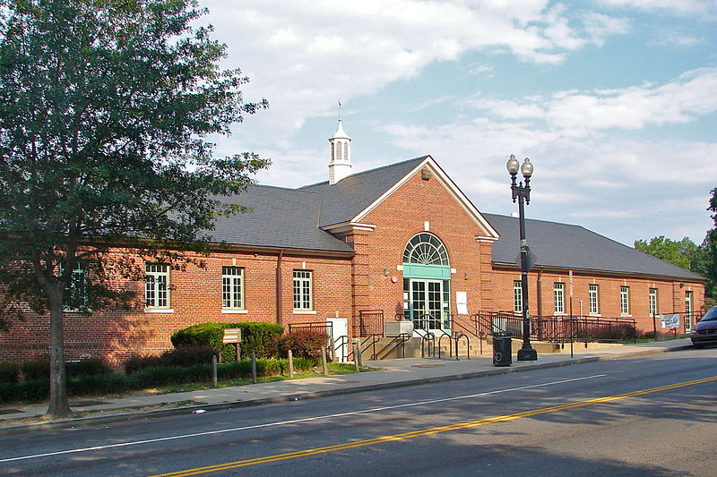
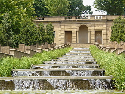
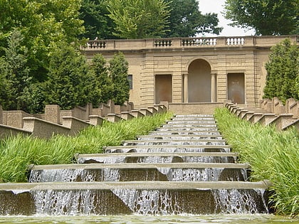
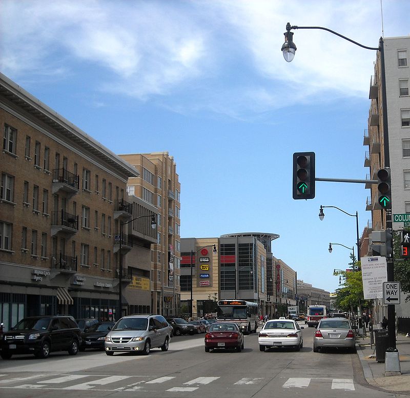
Columbia Heights is a neighborhood in Northwest Washington, D.C., United States. It has diverse demographics, the DC USA shopping mall and many restaurants, BloomBars, Meridian Hill/Malcolm X Park, Howard University, Banneker Recreation Center, and All Souls Church. ()
Coordinates: 38°55'33"N, 77°1'46"W
Address
Northwest Washington (Columbia Heights)Washington D.C.
ContactAdd
Social media
Add
Day trips
Columbia Heights – popular in the area (distance from the attraction)
Nearby attractions include: U Street Music Hall, Bohemian Caverns, Cascading Waterfall, 9:30 Club.
Frequently Asked Questions (FAQ)
Which popular attractions are close to Columbia Heights?
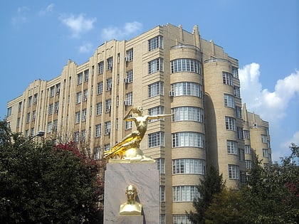
Nearby attractions include Clifton Terrace, Washington D.C. (8 min walk), Warder Mansion, Washington D.C. (9 min walk), All Souls Church, Washington D.C. (9 min walk), Meridian Manor, Washington D.C. (10 min walk).
How to get to Columbia Heights by public transport?
The nearest stations to Columbia Heights:
Metro
Metro
- Columbia Heights • Lines: Gr, Yl (7 min walk)
- U Street • Lines: Gr, Yl (17 min walk)


