Glastonbury Historic District, Glastonbury
Map

Map

Facts and practical information
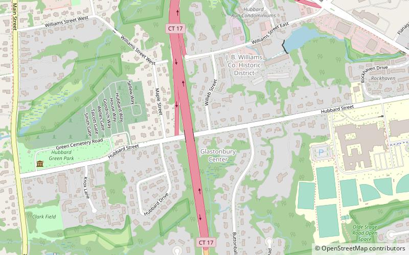
The Glastonbury Historic District encompasses a streetscape dating to the 17th century, along Main St. from Hebron Ave. to Talcott Rd. in Glastonbury, Connecticut. In addition to a significant number of 17th and 18th-century houses, it shows the architectural development of the town over time, with buildings spanning three centuries in construction dates. It was listed on the National Register of Historic Places in 1984. ()
Area: 128 acres (0.2 mi²)Coordinates: 41°42'6"N, 72°36'0"W
Address
JB William Company Historic DistrictGlastonbury
ContactAdd
Social media
Add
Day trips
Glastonbury Historic District – popular in the area (distance from the attraction)
Nearby attractions include: Rentschler Field, Connecticut Science Center, Dinosaur State Park, Webb-Deane-Stevens Museum.


