Camp Washington, Cincinnati
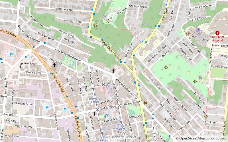
Map
Map

Facts and practical information
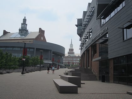
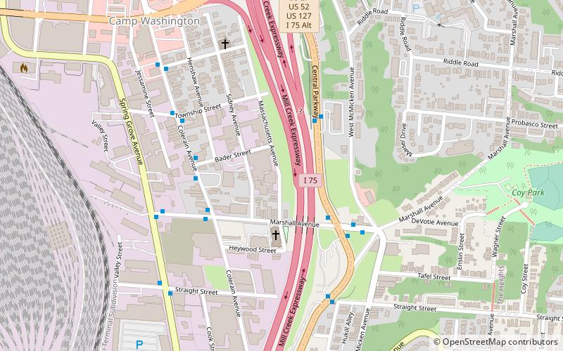
Camp Washington is a city neighborhood of Cincinnati, Ohio, United States. It is located north of Queensgate, east of Fairmount, and west of Clifton and University Heights. The community is a crossing of 19th-century homes and industrial space, some of which is being converted into loft apartments. The population was 1,343 at the 2010 census. ()
Coordinates: 39°7'60"N, 84°31'60"W
Address
Camp WashingtonCincinnati
ContactAdd
Social media
Add
Day trips
Camp Washington – popular in the area (distance from the attraction)
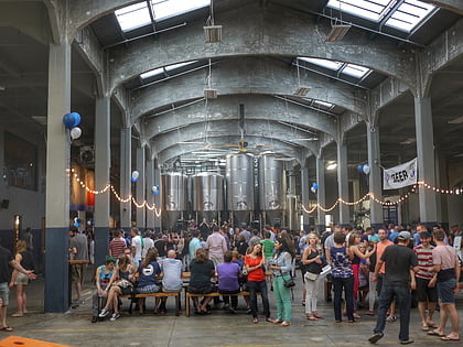
Nearby attractions include: Findlay Market, Nippert Stadium, Rhinegeist, Burnet Woods.
Frequently Asked Questions (FAQ)
Which popular attractions are close to Camp Washington?
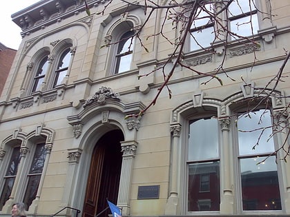
Nearby attractions include Van Wormer Library, Cincinnati (20 min walk), University of Cincinnati College of Law, Cincinnati (20 min walk), American Sign Museum, Cincinnati (21 min walk), Nippert Stadium, Cincinnati (24 min walk).
How to get to Camp Washington by public transport?
The nearest stations to Camp Washington:
Bus
Tram
Bus
- Colerain Ave & Marshall Ave • Lines: 16 (4 min walk)
- Marshall Ave & Colerain Ave • Lines: 16 (4 min walk)
Tram
- Brewery District • Lines: 100 (34 min walk)


