Capitol Hill, Seattle
Map
Gallery
Facts and practical information
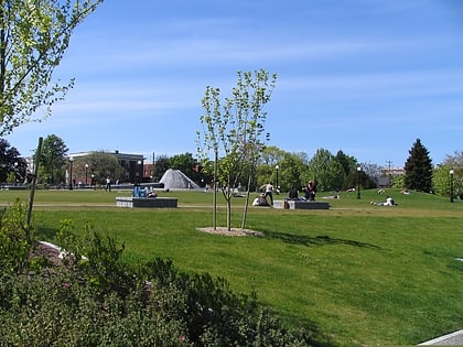
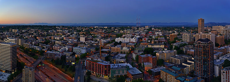
Capitol Hill is a densely populated residential district in Seattle, Washington, United States. One of the city's most popular nightlife and entertainment districts, it is home to a historic gay village and vibrant counterculture community. ()
Alternative names: Established: 1886 (140 years ago)Area: 1.64 mi²Coordinates: 47°37'26"N, 122°19'5"W
Address
Capitol Hill (Broadway)Seattle
ContactAdd
Social media
Add
Day trips
Capitol Hill – popular in the area (distance from the attraction)
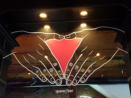
Nearby attractions include: Pacific Place, R Place, Seattle Eagle, Queer Bar.
Frequently Asked Questions (FAQ)
Which popular attractions are close to Capitol Hill?
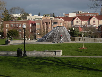
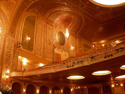
Nearby attractions include Broadway Hill Park, Seattle (2 min walk), Harvard Exit Theatre, Seattle (6 min walk), Capitol Hill Branch Library, Seattle (6 min walk), University Link tunnel, Seattle (8 min walk).
How to get to Capitol Hill by public transport?
The nearest stations to Capitol Hill:
Bus
Light rail
Tram
Train
Trolleybus
Bus
- 10th Ave E & E Mercer St • Lines: 60 (3 min walk)
- Broadway E & E Mercer St • Lines: 9 (4 min walk)
Light rail
- Capitol Hill • Lines: 1 (9 min walk)
- Westlake • Lines: 1 (31 min walk)
Tram
- Broadway & Denny • Lines: First Hill Streetcar (11 min walk)
- Fairview & Campus Drive • Lines: South Lake Union Streetcar (19 min walk)
Train
- Westlake Center (31 min walk)
Trolleybus
- 3rd Ave & Virginia St • Lines: 1, 13, 2, 3, 4 (34 min walk)
- 3rd Ave & Seneca St • Lines: 1, 13, 3, 4, 49 (37 min walk)


