Kew Gardens, New York City
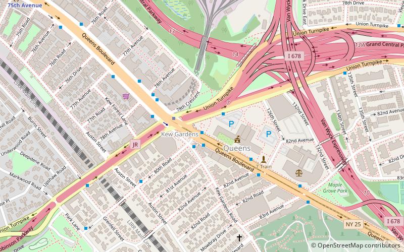
Map
Gallery
Facts and practical information
Kew Gardens is a neighborhood in the central area of the New York City borough of Queens. Kew Gardens is bounded to the north by the Union Turnpike and the Jackie Robinson Parkway, to the east by the Van Wyck Expressway and 131st Street, to the south by Hillside Avenue, and to the west by Park Lane, Abingdon Road, and 118th Street. Forest Park and the neighborhood of Forest Hills are to the west, Flushing Meadows–Corona Park north, Richmond Hill south, Briarwood southeast, and Kew Gardens Hills east. ()
Day trips
Kew Gardens – popular in the area (distance from the attraction)
Nearby attractions include: Queens Borough Hall, Forest Hills Stadium, The Church-in-the-Gardens, Church of the Resurrection.
Frequently Asked Questions (FAQ)
Which popular attractions are close to Kew Gardens?
Nearby attractions include Maple Grove Cemetery, New York City (8 min walk), Church of the Resurrection, New York City (10 min walk), RKO Keith's Theater, New York City (12 min walk), Queens Borough Hall, New York City (15 min walk).
How to get to Kew Gardens by public transport?
The nearest stations to Kew Gardens:
Train
Metro
Bus
Light rail
Train
- Kew Gardens (9 min walk)
- Jamaica (28 min walk)
Metro
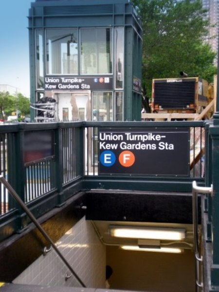
- 121st Street • Lines: J, Z (10 min walk)
- Briarwood • Lines: <F>, E, F (11 min walk)
Bus
- Van Wyck Expressway & 91st Avenue • Lines: Q24 (19 min walk)
- Hillside Avenue & 144th Street • Lines: Q20A, Q20B (21 min walk)
Light rail
- Jamaica • Lines: Jfk (28 min walk)



 Subway
 Manhattan Buses


