Port of Galveston, Galveston
Map

Gallery
Facts and practical information
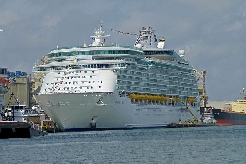
The Port of Galveston is the port of the city of Galveston, Texas. It was established by a proclamation issued by the Congress of Mexico on October 17, 1825, while the land known today as Texas was still part of Mexico. The Port of Galveston is the oldest port in the Gulf of Mexico west of New Orleans. ()
Opened: 1825 (201 years ago)Coordinates: 29°18'18"N, 94°48'36"W
Day trips
Port of Galveston – popular in the area (distance from the attraction)
Nearby attractions include: Texas Building, Ashton Villa, City National Bank, Elissa Ship.
Frequently Asked Questions (FAQ)
Which popular attractions are close to Port of Galveston?
Nearby attractions include Galveston Railroad Museum, Galveston (19 min walk), Grace Episcopal Church, Galveston (20 min walk), USS Cavalla, Galveston (20 min walk), Saints Constantine and Helen Church, Galveston (23 min walk).
How to get to Port of Galveston by public transport?
The nearest stations to Port of Galveston:
Bus
Bus
- 25th & Seawall • Lines: Galveston Island Trolley Seawall (42 min walk)


