South Philadelphia, Philadelphia
Map
Gallery
Facts and practical information
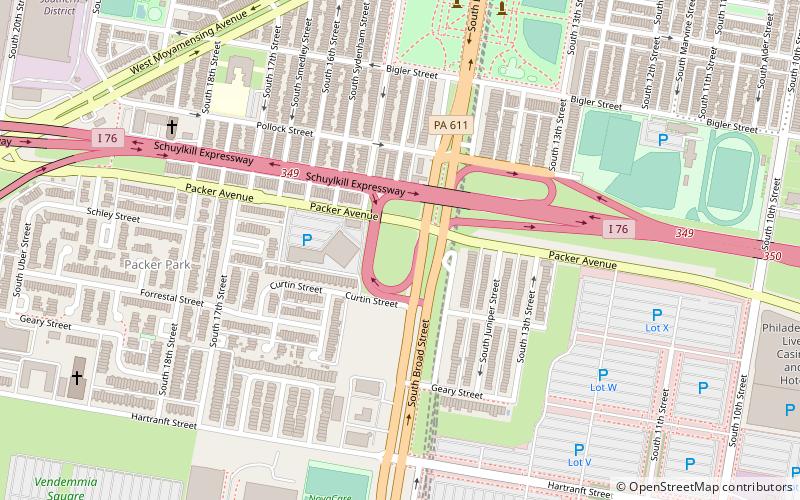
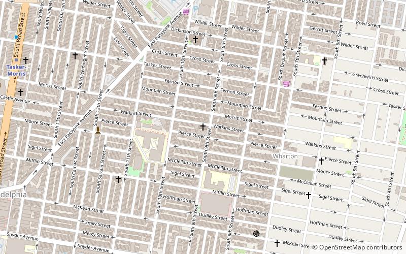
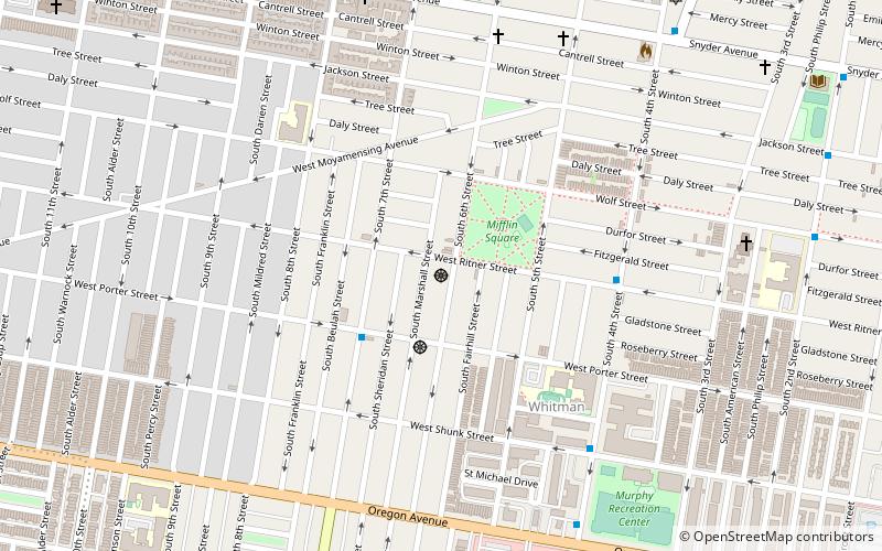
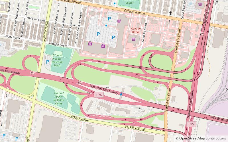
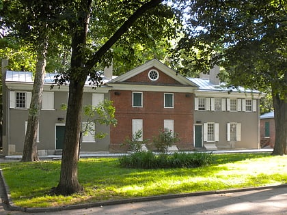
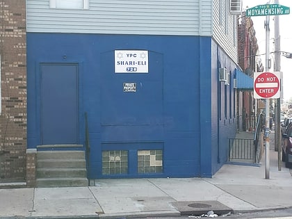
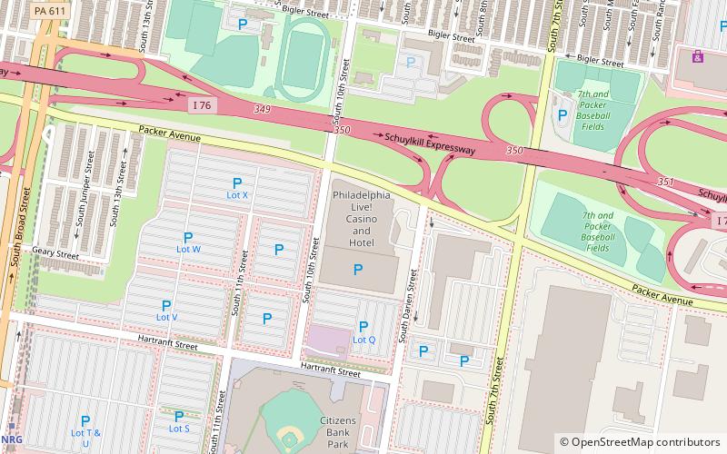
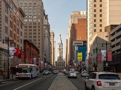
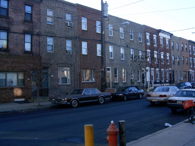
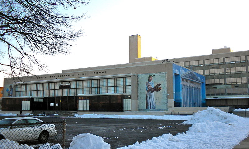
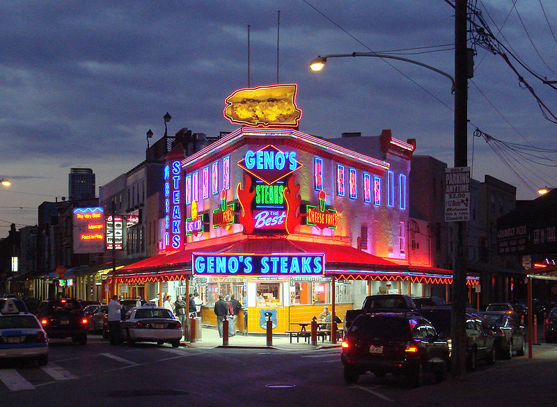
South Philadelphia, nicknamed South Philly, is the section of Philadelphia bounded by South Street to the north, the Delaware River to the east and south and the Schuylkill River to the west. A diverse working-class community of many neighborhoods, South Philadelphia is well-known for its large Italian-American population, but it also contains large Asian American, Irish-American, African-American, and Latino populations. ()
Address
South Philadelphia (Newbold)Philadelphia
ContactAdd
Social media
Add
Day trips
South Philadelphia – popular in the area (distance from the attraction)
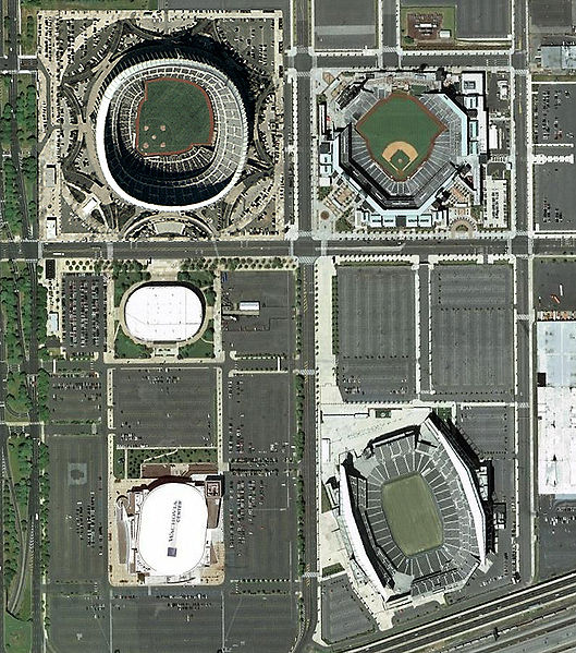
Nearby attractions include: Citizens Bank Park, Walt Whitman, St Nicholas of Tolentine, Preah Buddha Rangsey Temple.
Frequently Asked Questions (FAQ)
Which popular attractions are close to South Philadelphia?
Nearby attractions include Baptist Institute for Christian Workers, Philadelphia (7 min walk), Central South Philadelphia, Philadelphia (8 min walk), Girard Academic Music Program, Philadelphia (11 min walk), Dickinson Square West, Philadelphia (12 min walk).
How to get to South Philadelphia by public transport?
The nearest stations to South Philadelphia:
Metro
Bus
Metro
- Snyder • Lines: Bsl (8 min walk)
- Oregon • Lines: Bsl (13 min walk)
Bus
- 21331 • Lines: 17 (11 min walk)



 SEPTA Regional Rail
