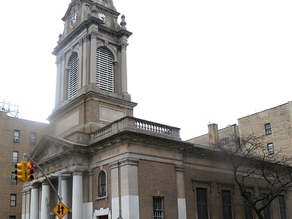
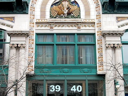
Washington Heights, New York City
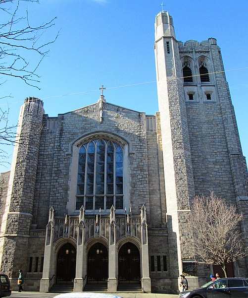
Facts and practical information
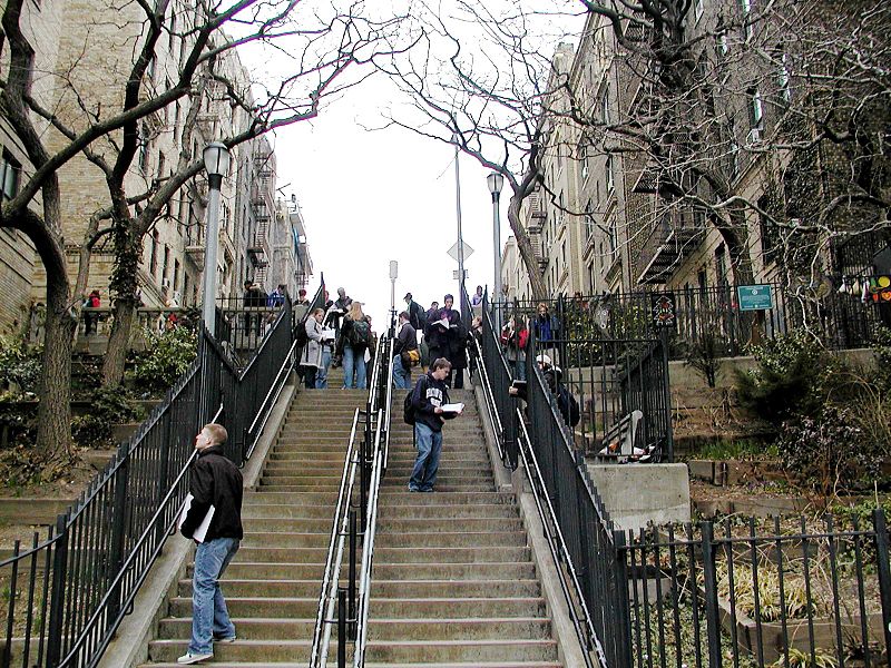
Washington Heights is a neighborhood in the uppermost part of the New York City borough of Manhattan. It is named for Fort Washington, a fortification constructed at the highest natural point on Manhattan Island by Continental Army troops to defend the area from the British forces during the American Revolutionary War. Washington Heights is bordered by Inwood to the north along Dyckman Street, by Harlem to the south along 155th Street, by the Harlem River and Coogan's Bluff to the east, and by the Hudson River to the west. ()
Upper Manhattan (Washington Heights)New York City
Washington Heights – popular in the area (distance from the attraction)
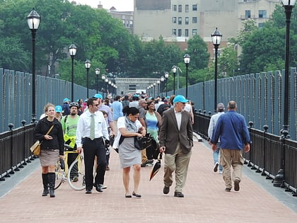
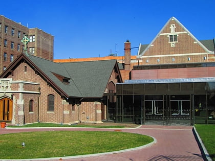
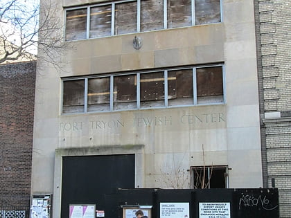
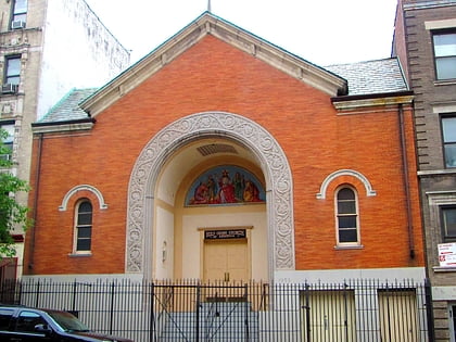
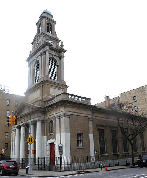
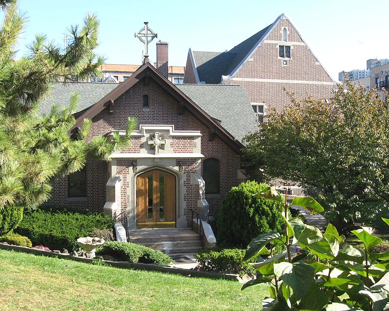
Nearby attractions include: Little Red Lighthouse, High Bridge, Highbridge Park, Fort Washington Collegiate Church.
Frequently Asked Questions (FAQ)
Which popular attractions are close to Washington Heights?
How to get to Washington Heights by public transport?
Metro
- 181st Street • Lines: 1, A (6 min walk)
- 175th Street • Lines: A (8 min walk)
Bus
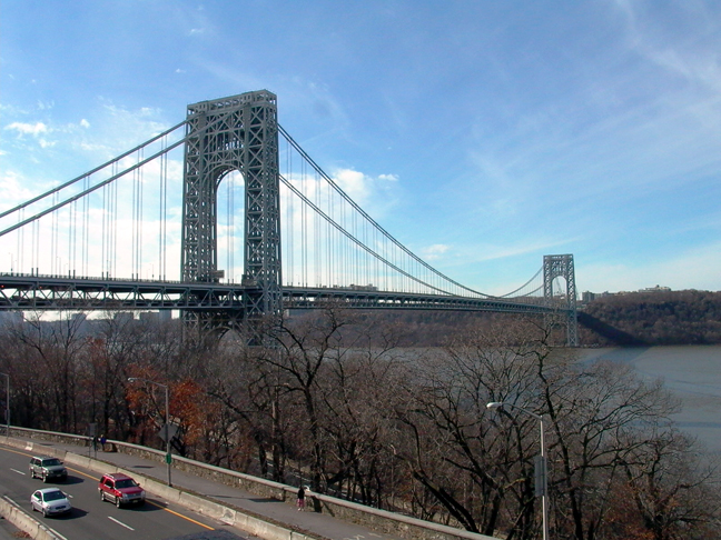
- George Washington Bridge Bus Station (5 min walk)
- Saint Nicholas Avenue & West 176th Street • Lines: M3 (7 min walk)
Train
- Morris Heights (22 min walk)
- University Heights (36 min walk)



 Subway
 Manhattan Buses
