The Barn at Kings Highway, Westport
Facts and practical information
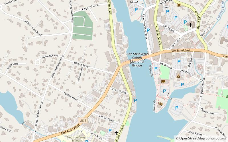
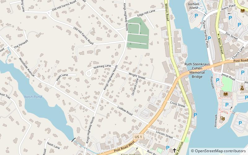
The Barn at Kings Highway is a historic landmark in the town of Westport, Connecticut. It is located at 57 Kings Highway North on privately owned land. Opened in the early 1900s by Ann Sheffer and her family, The Barn has served as a meeting place and social hub for Westporters of all generations. It is a contributing property of the Kings Highway North Historic District which was listed on the National Register of Historic Places in 1998. Its early years featured its use as a place for luxurious parties thrown by the aristocrat members of Westport's population. ()
WolfpitWestport
The Barn at Kings Highway – popular in the area (distance from the attraction)
Nearby attractions include: Earthplace, Saugatuck River Bridge, Our Lady of the Assumption Church, Bradley–Wheeler House.

