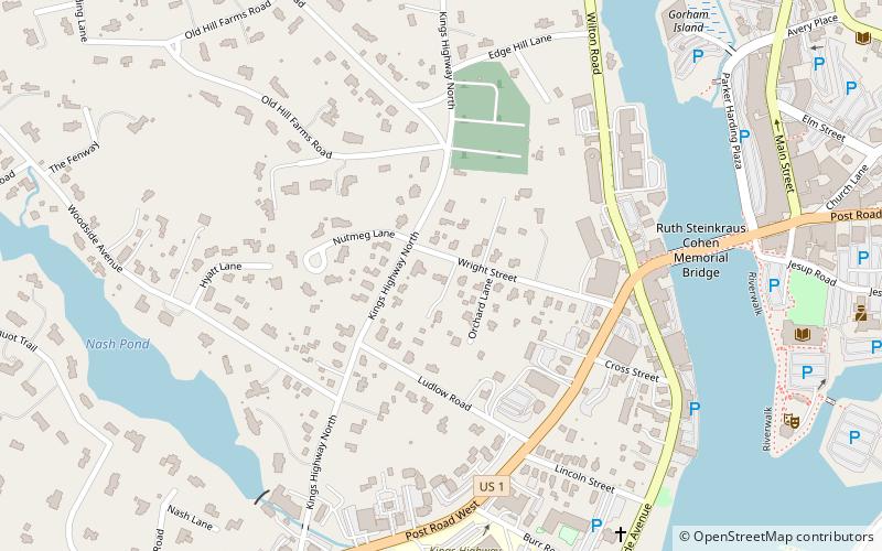
Kings Highway North Historic District, Westport
Map
Facts and practical information
The Kings Highway North Historic District is a predominantly residential 58-acre historic district in Westport, Connecticut. Located on the hillside west of the Saugatuck River, this area encapsulates architecturally several major stages in the community's development, from colonial days to the 20th century. It was listed on the National Register of Historic Places in 1998. ()
Coordinates: 41°8'26"N, 73°22'6"W
Address
Old HillWestport
ContactAdd
Social media
Add
Day trips


Frequently Asked Questions (FAQ)
Which popular attractions are close to Kings Highway North Historic District?
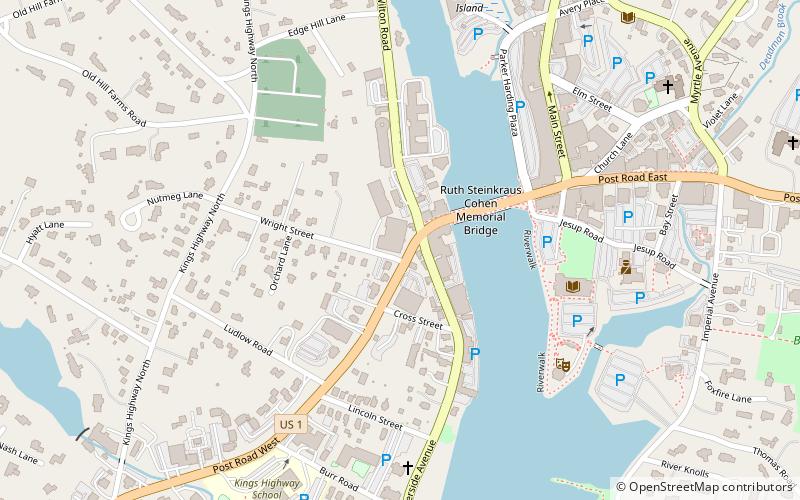
Nearby attractions include National Hall Historic District, Westport (5 min walk), Our Lady of the Assumption Church, Westport (9 min walk), The Westport Library, Westport (10 min walk), Levitt Pavilion for the Performing Arts, Westport (10 min walk).