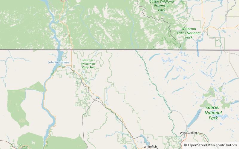
Whitefish Range, Flathead National Forest
Map

Map

Facts and practical information
The Whitefish Range is a mountain range stretching north-south from British Columbia, Canada to Montana, United States. It is about 76 miles long and 58 miles wide. Water flowing from its east side drains down the North Fork Flathead River and its west side drains into the Whitefish River, both part of the Columbia River drainage basin. ()
Area: 1726 mi²Maximum elevation: 8740 ftCoordinates: 48°50'60"N, 114°37'1"W
Address
Flathead National Forest
ContactAdd
Social media
Add
