Oconaluftee Indian Village, Cherokee
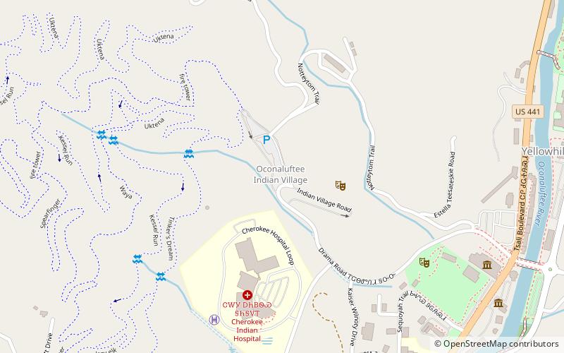
Map

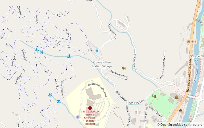
Map

Facts and practical information
The Oconaluftee Indian Village is a replica of an 18th-century eastern Cherokee community located in Cherokee, North Carolina, United States along the Oconaluftee River. ()
Elevation: 2152 ft a.s.l.Coordinates: 35°29'12"N, 83°19'21"W
Day trips
Oconaluftee Indian Village – popular in the area (distance from the attraction)
Nearby attractions include: Oconaluftee, Mingo Falls, Harrah's Cherokee, Cherokee Botanical Garden and Nature Trail.
Frequently Asked Questions (FAQ)
When is Oconaluftee Indian Village open?
Oconaluftee Indian Village is open:
- Monday 10 am - 4 pm
- Tuesday 10 am - 4 pm
- Wednesday 10 am - 4 pm
- Thursday 10 am - 4 pm
- Friday 10 am - 4 pm
- Saturday 10 am - 4 pm
- Sunday closed


