Mingo Falls, Cherokee
Map

Map

Facts and practical information
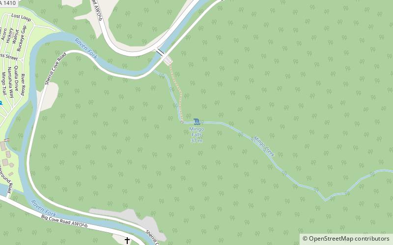
Mingo Falls is a 120 ft high waterfall located in the Qualla Boundary—a land trust of the Eastern Band of Cherokee Indians—near the town of Cherokee, Swain County, North Carolina in the Blue Ridge Mountains of the eastern United States. The waterfall is among the tallest in the southern Appalachians. ()
Height: 120 ftElevation: 2503 ft a.s.l.Coordinates: 35°31'54"N, 83°16'30"W
Day trips
Mingo Falls – popular in the area (distance from the attraction)
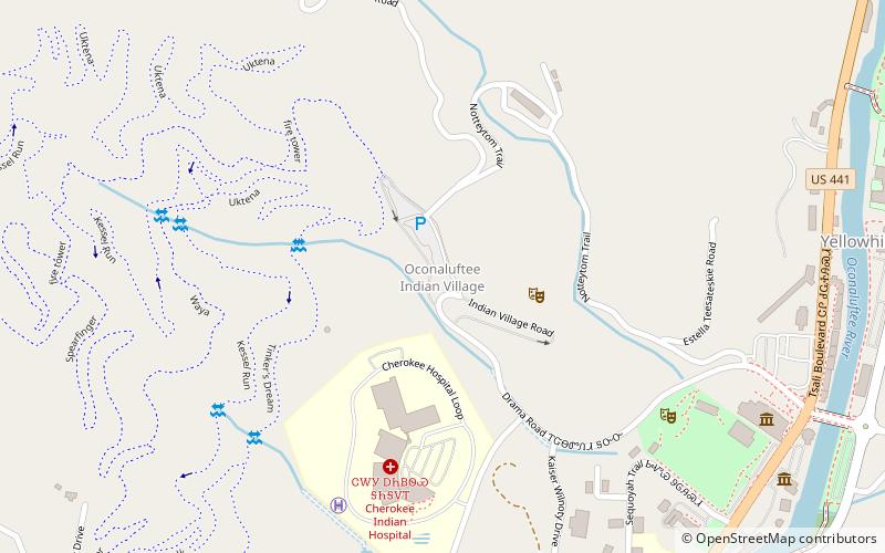
Nearby attractions include: Oconaluftee, Oconaluftee Indian Village, Harrah's Cherokee, Cherokee Botanical Garden and Nature Trail.


