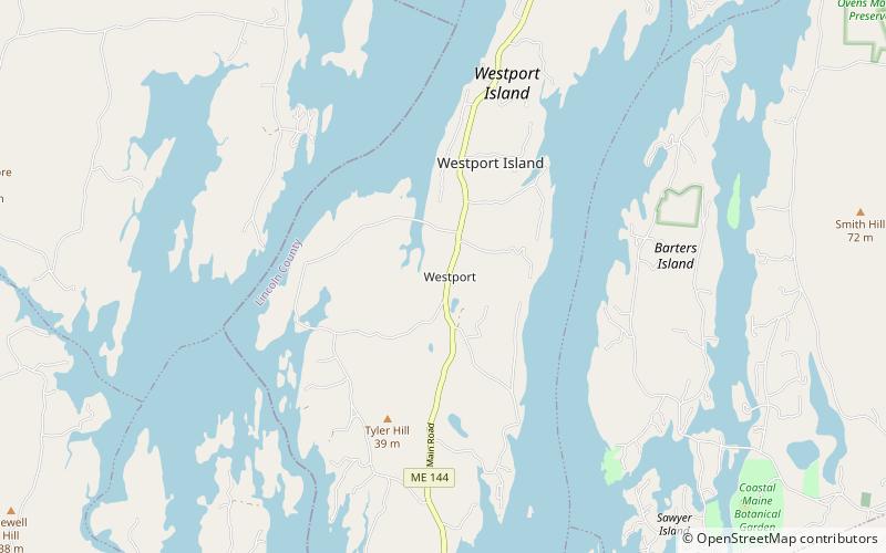
Westport Community Church, Westport Island
Map
Facts and practical information
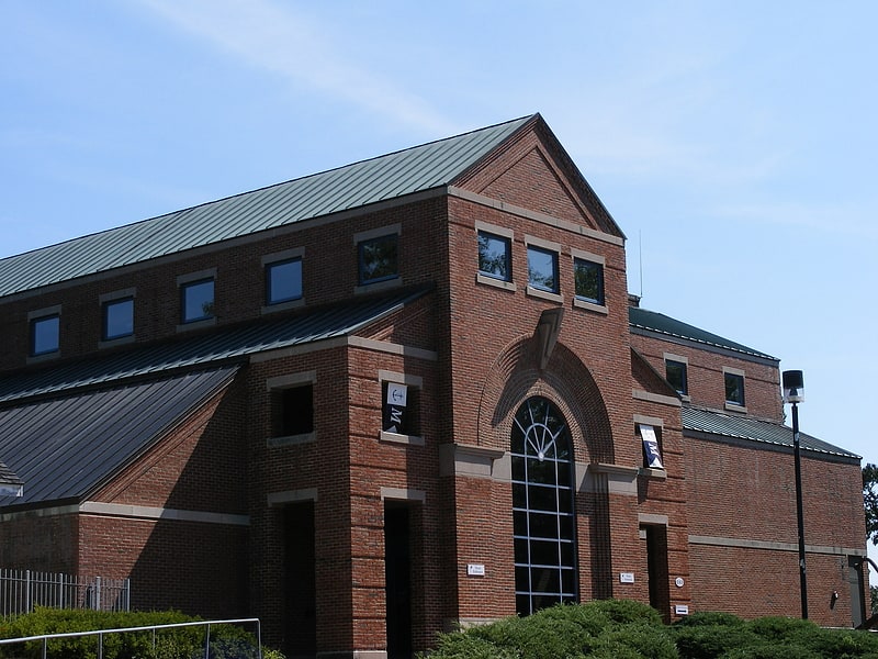
The Westport Community Church, also known historically as Temperance Hall and the Music Hall, is a historic church on Main Road in Westport, Maine. Probably built in the 1830s, and moved to its present location in 1864, it is a fine local example of Greek Revival architecture. It is now owned by a local non-profit organization, used for events and functions in the summertime. It was listed on the National Register of Historic Places in 2002. ()
Built: 1835 (191 years ago)Coordinates: 43°53'57"N, 69°42'34"W
Address
Westport Island
ContactAdd
Social media
Add
Day trips


Frequently Asked Questions (FAQ)
Which popular attractions are close to Westport Community Church?
Nearby attractions include Westport Town Hall, Westport Island (2 min walk), Squire Tarbox House, Westport Island (7 min walk).