Pilgrim Congregational Church, Redding
Map

Map

Facts and practical information
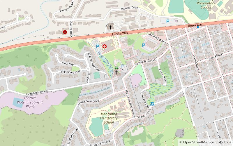
Pilgrim Congregational Church in Redding, California was designed in 1958 by the American architect Frank Lloyd Wright, and built between 1960 and 1963. ()
Completed: 1963 (63 years ago)Coordinates: 40°35'1"N, 122°24'47"W
Day trips
Pilgrim Congregational Church – popular in the area (distance from the attraction)
Nearby attractions include: Sundial Bridge, Bethel Church, Waterworks Park, Turtle Bay Exploration Park.
Frequently Asked Questions (FAQ)
How to get to Pilgrim Congregational Church by public transport?
The nearest stations to Pilgrim Congregational Church:
Train
Bus
Train
- Redding (27 min walk)
Bus
- RABA Bus Terminal (27 min walk)


