SRP Tempe Town Lake Marina, Tempe
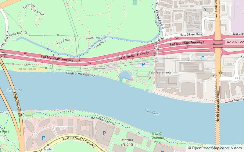
Map

Map

Facts and practical information
Tempe Town Lake is an artificial perennial reservoir located just north of Tempe Butte at the confluence of the intermittent Salt River and the ephemeral Indian Bend Wash in Tempe, Arizona, United States. The reservoir receives much of its water from the Colorado River via the Central Arizona Project. ()
Built: 8 August 1997 (28 years ago)Area: 222.39 acres (0.3475 mi²)Length: 2 miWidth: 1200 ftMaximum depth: 19 ftCoordinates: 33°26'3"N, 111°55'59"W
Address
Tempe (Downtown Tempe - Rio Salado)Tempe
ContactAdd
Social media
Add
Day trips
SRP Tempe Town Lake Marina – popular in the area (distance from the attraction)
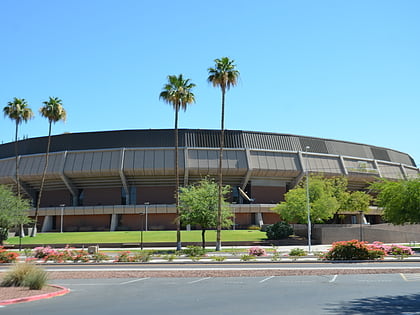
Nearby attractions include: Karsten Golf Course, Sun Devil Stadium, Desert Financial Arena, Tempe Center for the Arts.
Frequently Asked Questions (FAQ)
Which popular attractions are close to SRP Tempe Town Lake Marina?
Nearby attractions include Tempe Town Lake, Tempe (7 min walk), Tempe Butte, Tempe (12 min walk), Mill Avenue Bridges, Tempe (13 min walk), Sun Devil Stadium, Tempe (14 min walk).
How to get to SRP Tempe Town Lake Marina by public transport?
The nearest stations to SRP Tempe Town Lake Marina:
Tram
Bus
Tram
- Marina Heights / Rio Salado Pkwy (9 min walk)
- Hayden Ferry / Rio Salado Pkwy (11 min walk)
Bus
- Tempe Transportation Center (16 min walk)
- Flash Forward • Lines: Flsh Wb, Oe Eb, Oe Wb, Oj Nb, Oj Sb, Om Eb, Om Wb, Oma Nb, Oma Sb, Os Eb, Os Wb, Ov Eb, Ov Wb (16 min walk)


