Beacon Hill, Seattle
Map
Gallery
Facts and practical information
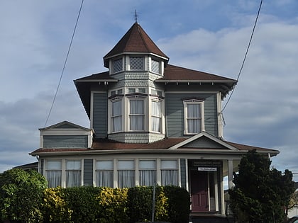
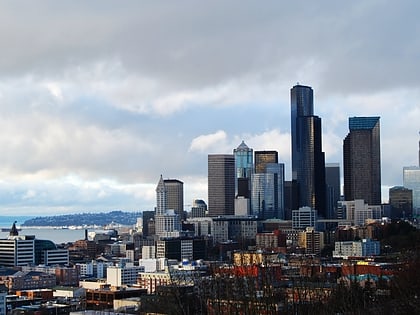
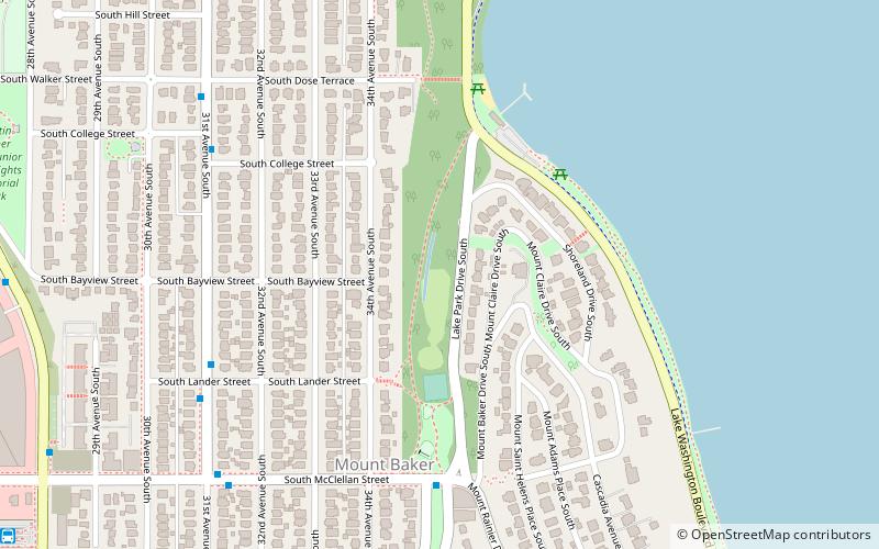
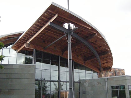
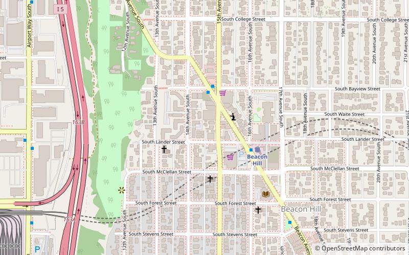
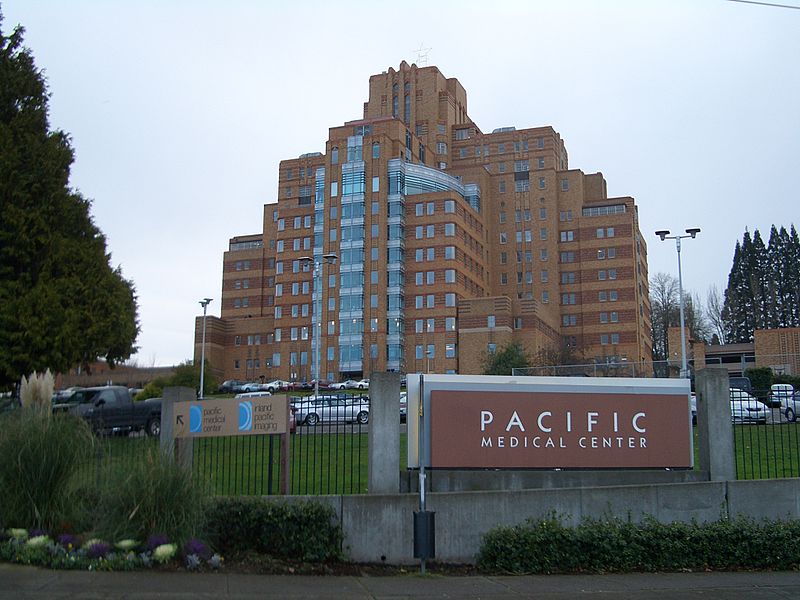
Beacon Hill is a hill and neighborhood in southeast Seattle, Washington. It is roughly bounded on the west by Interstate 5, on the north by Interstate 90, on the east by Rainier Avenue South, Cheasty Boulevard South, and Martin Luther King Junior Way South, and on the south by the Seattle city boundary. It is part of Seattle's South End. ()
Coordinates: 47°34'48"N, 122°18'50"W
Day trips
Beacon Hill – popular in the area (distance from the attraction)
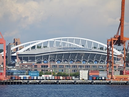
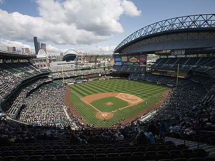
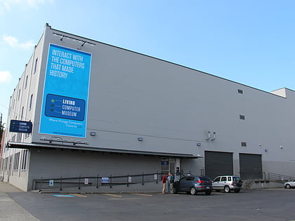
Nearby attractions include: Lumen Field, Safeco Field, Living Computers: Museum + Labs, Mariners Team Store.
Frequently Asked Questions (FAQ)
Which popular attractions are close to Beacon Hill?
Nearby attractions include Beacon Hill Branch Library, Seattle (5 min walk), Beacon Hill tunnel, Seattle (9 min walk), Dai Bai Zan Cho Bo Zen Ji, Seattle (12 min walk), Beacon Food Forest, Seattle (19 min walk).
How to get to Beacon Hill by public transport?
The nearest stations to Beacon Hill:
Bus
Light rail
Bus
- Beacon Ave S & S Bayview St • Lines: 60 (2 min walk)
- Beacon Ave S & S Lander St • Lines: 107, 60 (3 min walk)
Light rail
- Beacon Hill • Lines: 1 (3 min walk)
- Sodo • Lines: 1 (17 min walk)
