Palo Alto Unified School District, Palo Alto

Gallery (1)
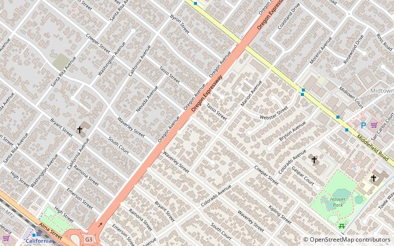
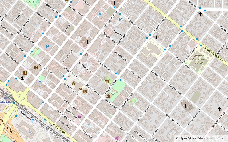
Map
Map
Facts and practical information
The Palo Alto Unified School District is a public school district located near Stanford University in Palo Alto, California. It consists of twelve primary schools, three middle schools, two high schools, and an adult school. ()
Coordinates: 37°25'59"N, 122°8'6"W
Getting there by public transportation
Public transportation stops near this location
- Bus
- Train
 Bus
Bus
- Calculate routeMiddlefield Road & Webster Street 7 min walk
- Calculate routeMiddlefield Road & Moreno Avenue 7 min walk
- Calculate routeMiddlefield Road & Colorado Avenue 9 min walk
- Calculate routeCalifornia Avenue 12 min walk
- Calculate routeStanford 32 min walk
Day trips


Frequently Asked Questions (FAQ)
Which popular attractions are close to Palo Alto Unified School District?
Nearby attractions include FedEx Office Print & Ship Center, Palo Alto (15 min walk), Palo Alto Art Center, Palo Alto (21 min walk), Gamble Garden, Palo Alto (22 min walk), Palo Alto Junior Museum and Zoo, Palo Alto (23 min walk).
How to get to Palo Alto Unified School District by public transport?
The nearest stations to Palo Alto Unified School District:
Bus
Train
Bus
- Middlefield Road & Webster Street • Lines: 21, C (7 min walk)
- Middlefield Road & Moreno Avenue • Lines: 21, 288 (7 min walk)
Train
- California Avenue (12 min walk)
- Stanford (32 min walk)