Palo Alto Medical Clinic, Palo Alto

Gallery (2)
Map
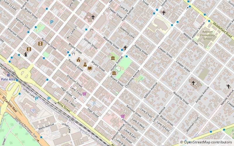
Map
Gallery
Facts and practical information
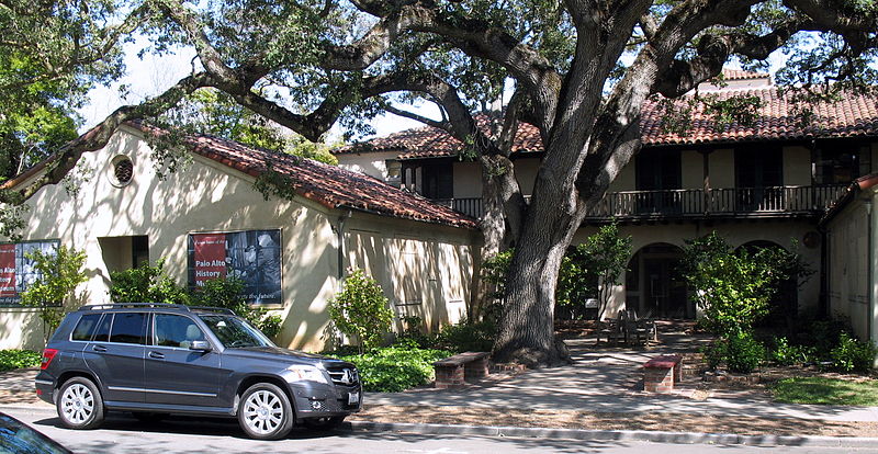
Palo Alto Medical Clinic, also known as the Roth Building was a former medical clinic. The building is located at 300 Homer street, at the corner of Bryant street in Palo Alto, California. It is listed on the National Register of Historic Places listings in Santa Clara County, California since 2010. The building is a good example of Spanish Colonial Revival architecture, and has historical relevance for the Palo Alto community, art history, and medical history. ()
Coordinates: 37°26'37"N, 122°9'26"W
Address
Palo Alto (University South)Palo Alto
ContactAdd
Social media
Add
Getting there by public transportation
Public transportation stops near this location
- Bus
- Train
 Bus
Bus
- Calculate routeWaverley Street & Homer Avenue 3 min walk
- Calculate routeHamilton Avenue & Waverley Street 6 min walk
- Calculate routeStanford 10 min walk
- Calculate routePalo Alto 12 min walk
- Calculate routeCalifornia Avenue 34 min walk
Day trips


Frequently Asked Questions (FAQ)
Which popular attractions are close to Palo Alto Medical Clinic?
Nearby attractions include Museum of American Heritage, Palo Alto (2 min walk), St. Thomas Aquinas Church, Palo Alto (3 min walk), HP Garage, Palo Alto (4 min walk), Pacific Art League, Palo Alto (4 min walk).
How to get to Palo Alto Medical Clinic by public transport?
The nearest stations to Palo Alto Medical Clinic:
Bus
Train
Bus
- Waverley Street & Homer Avenue • Lines: 21 (3 min walk)
- Hamilton Avenue & Waverley Street • Lines: 21 (6 min walk)
Train
- Stanford (10 min walk)
- Palo Alto (12 min walk)