Schenley Farms Historic District, Pittsburgh
Map
Gallery
Facts and practical information
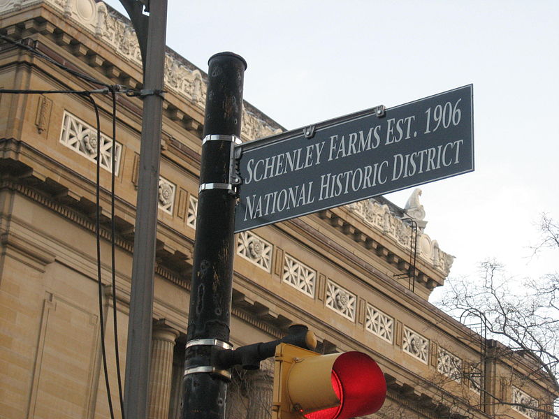
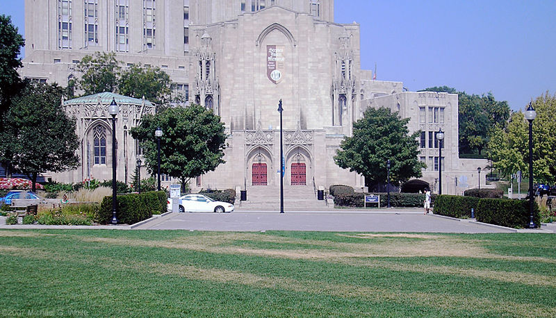
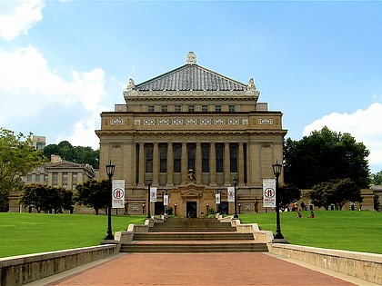
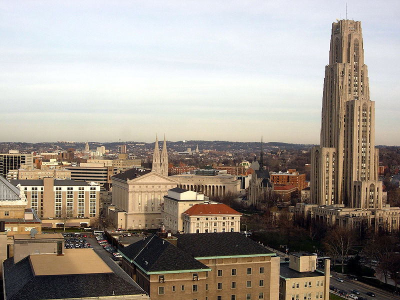
The Schenley Farms Historic District, also referred to as the Schenley Farms–Oakland Civic District, is a historic district listed on the National Register of Historic Places that is located in the Oakland section of Pittsburgh, Pennsylvania, United States. ()
Address
Central Pittsburgh (North Oakland)Pittsburgh
ContactAdd
Social media
Add
Day trips
Schenley Farms Historic District – popular in the area (distance from the attraction)
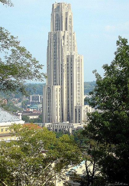
Nearby attractions include: Nationality Rooms, Carnegie Museum of Art, Dippy, Petersen Events Center.
Frequently Asked Questions (FAQ)
Which popular attractions are close to Schenley Farms Historic District?
Nearby attractions include Clapp Hall, Pittsburgh (2 min walk), Music Building, Pittsburgh (2 min walk), Alumni Hall, Pittsburgh (3 min walk), Heinz Memorial Chapel, Pittsburgh (4 min walk).
How to get to Schenley Farms Historic District by public transport?
The nearest stations to Schenley Farms Historic District:
Bus
Bus
- Fifth Avenue at Tennyson Avenue • Lines: 71B (3 min walk)
- Craig St at Park Plaza • Lines: 54C (6 min walk)


